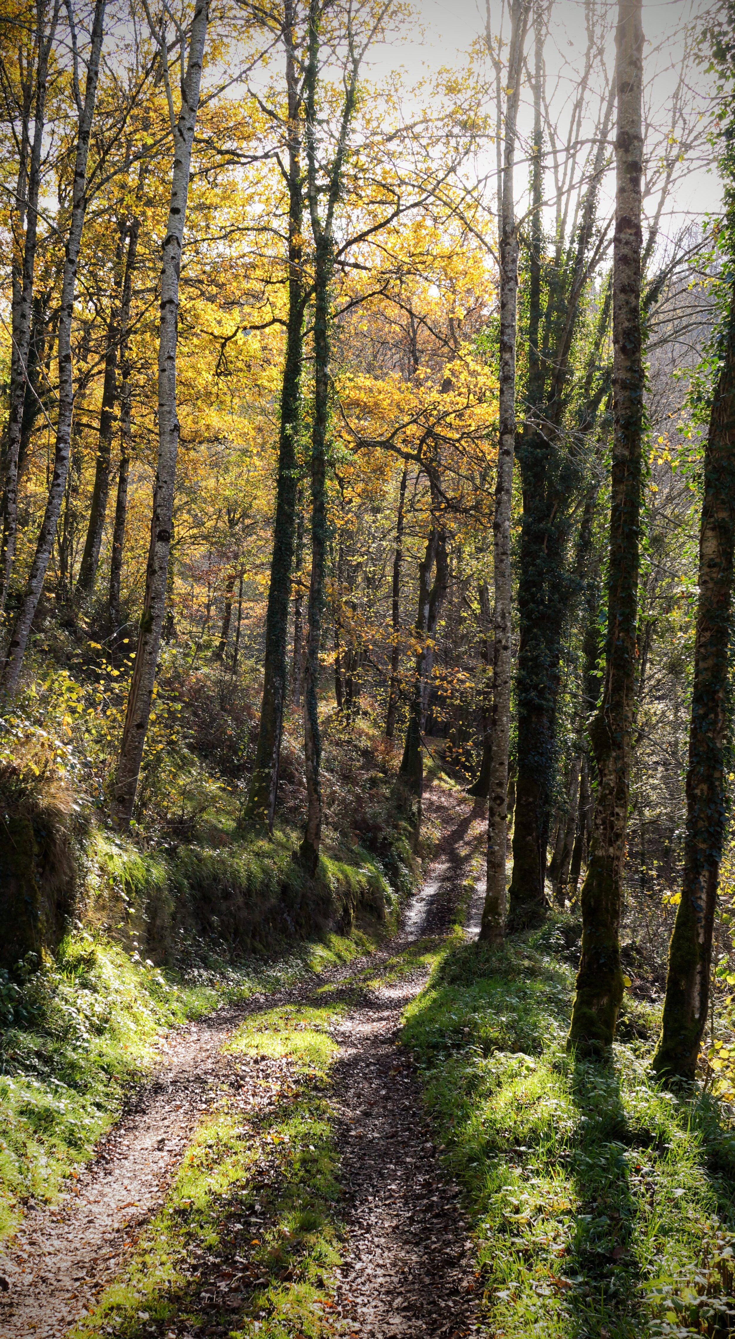
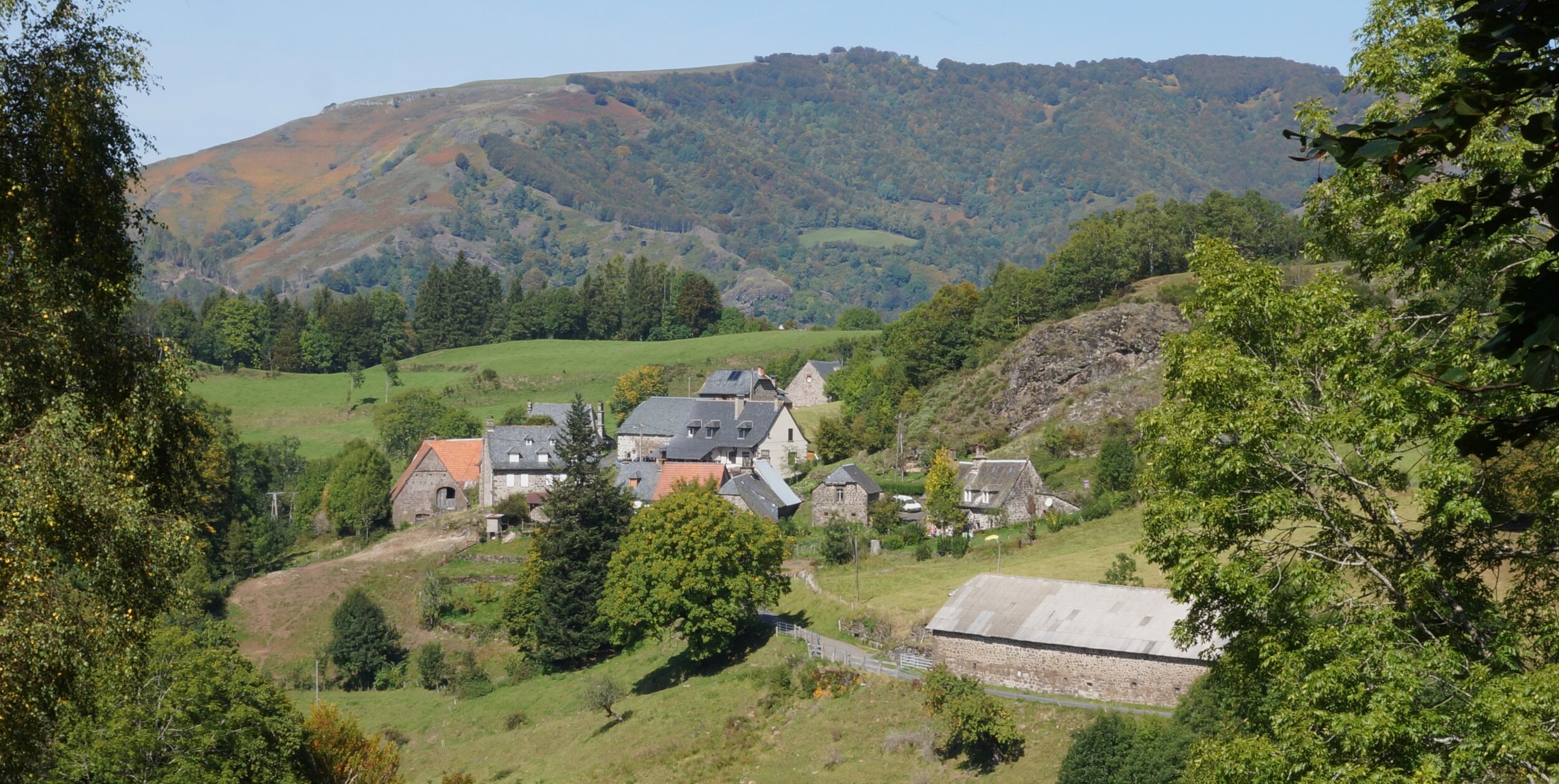
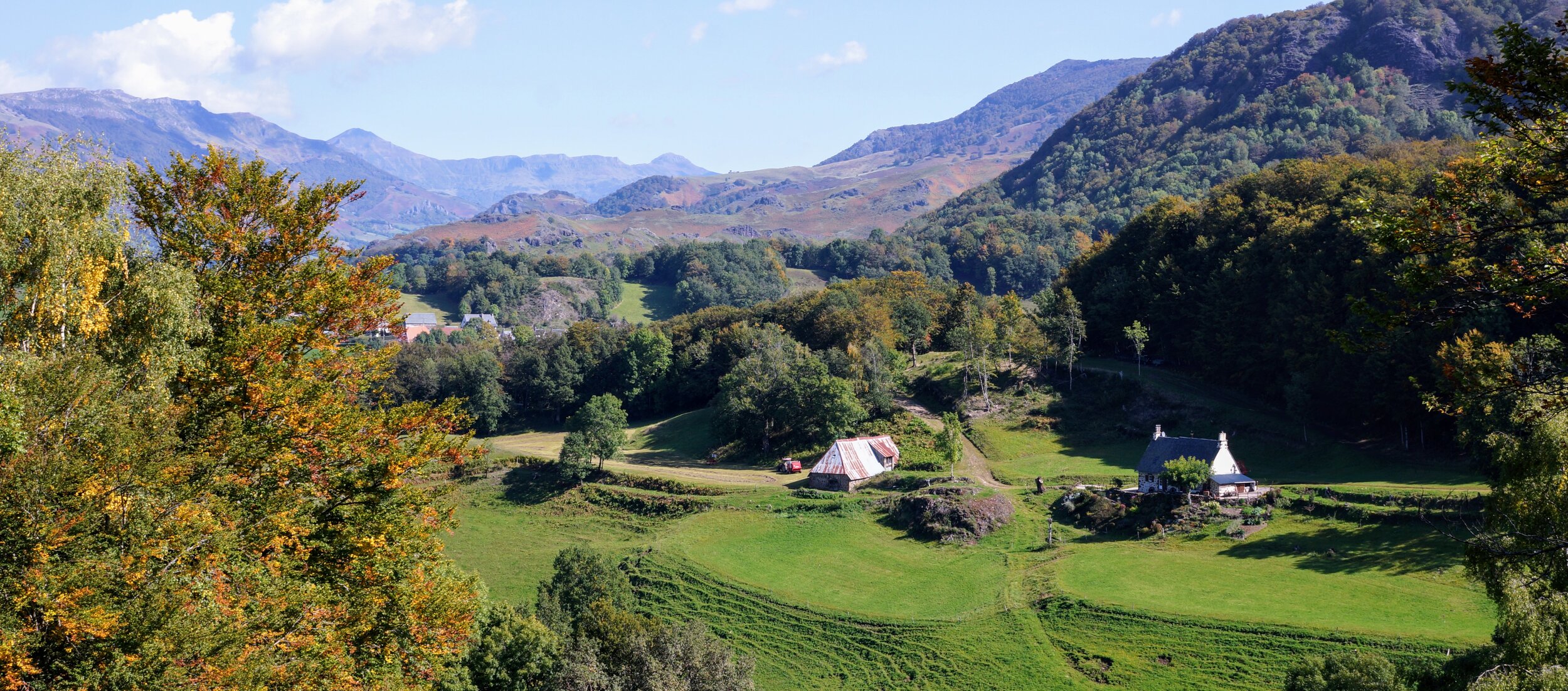
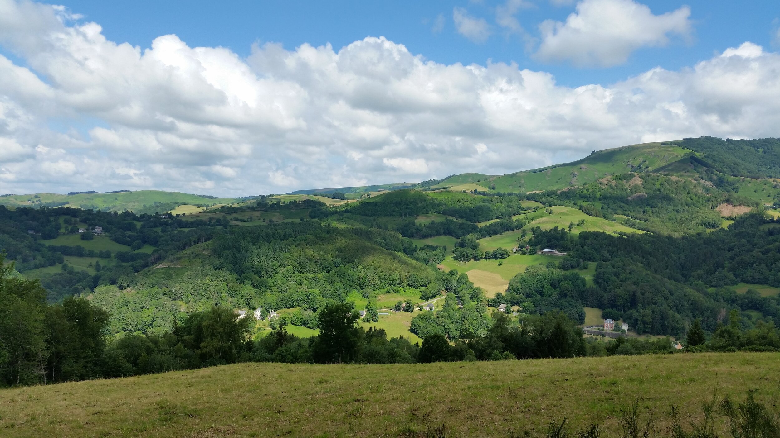
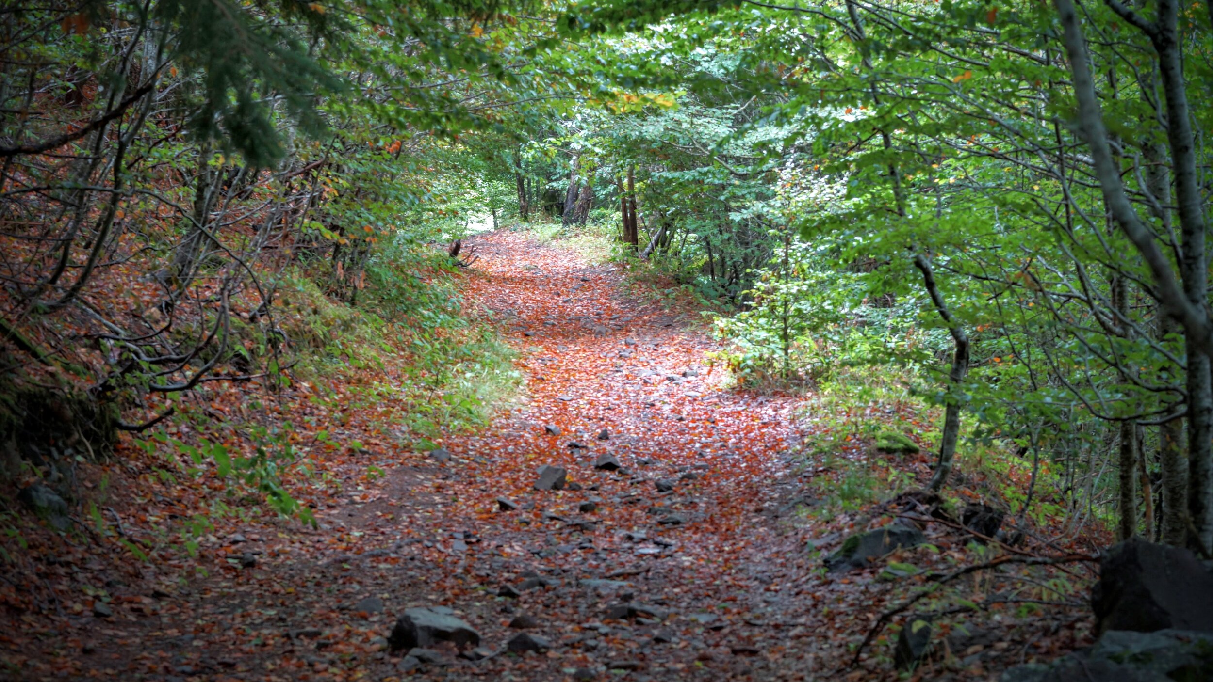
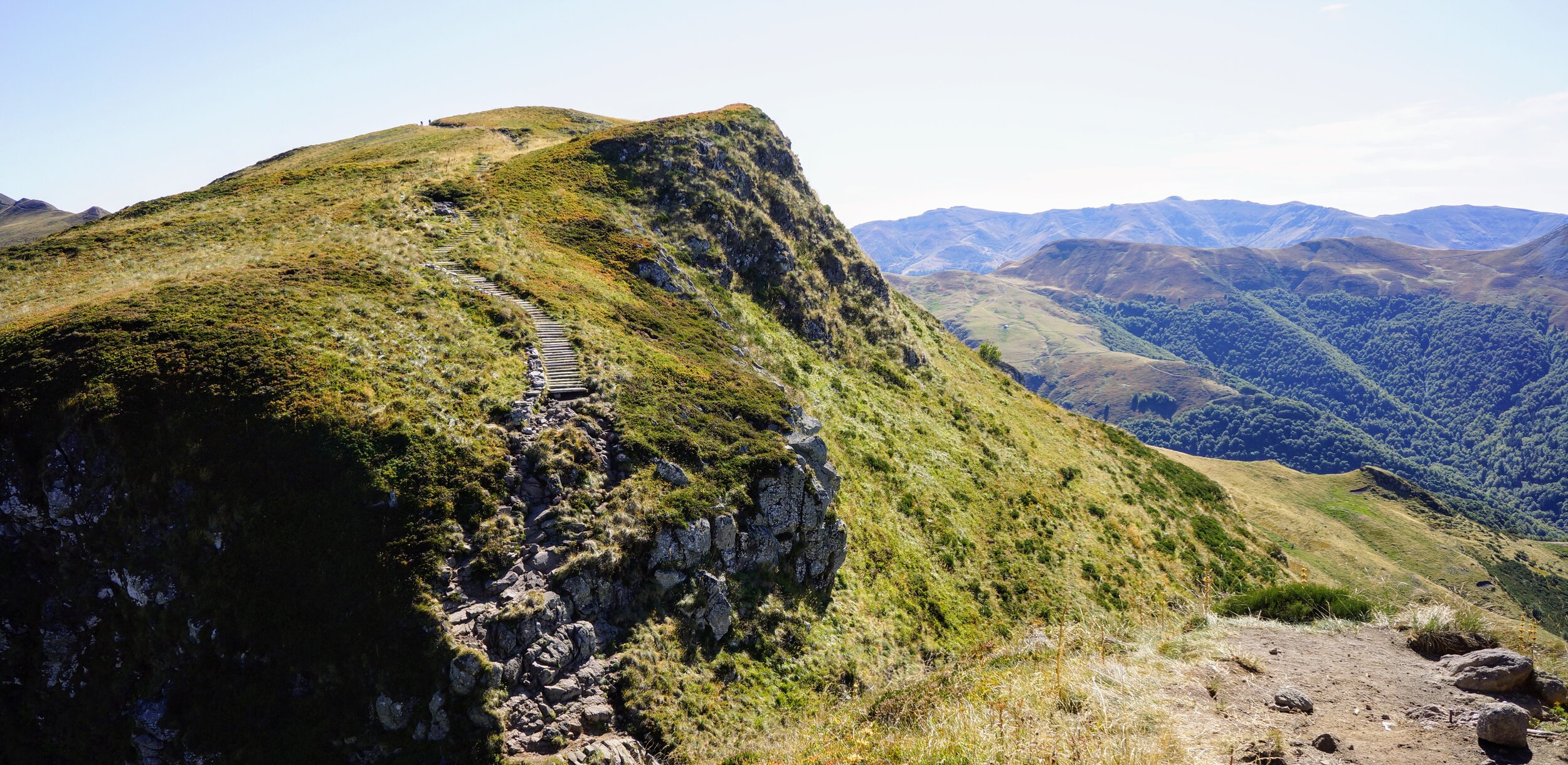
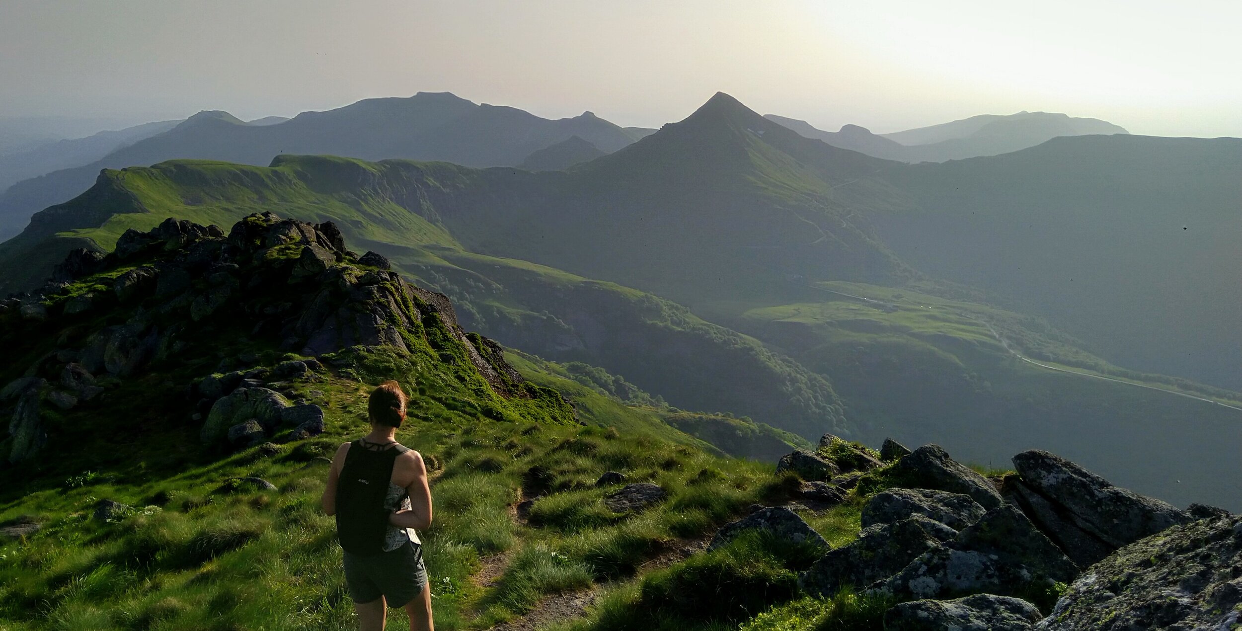
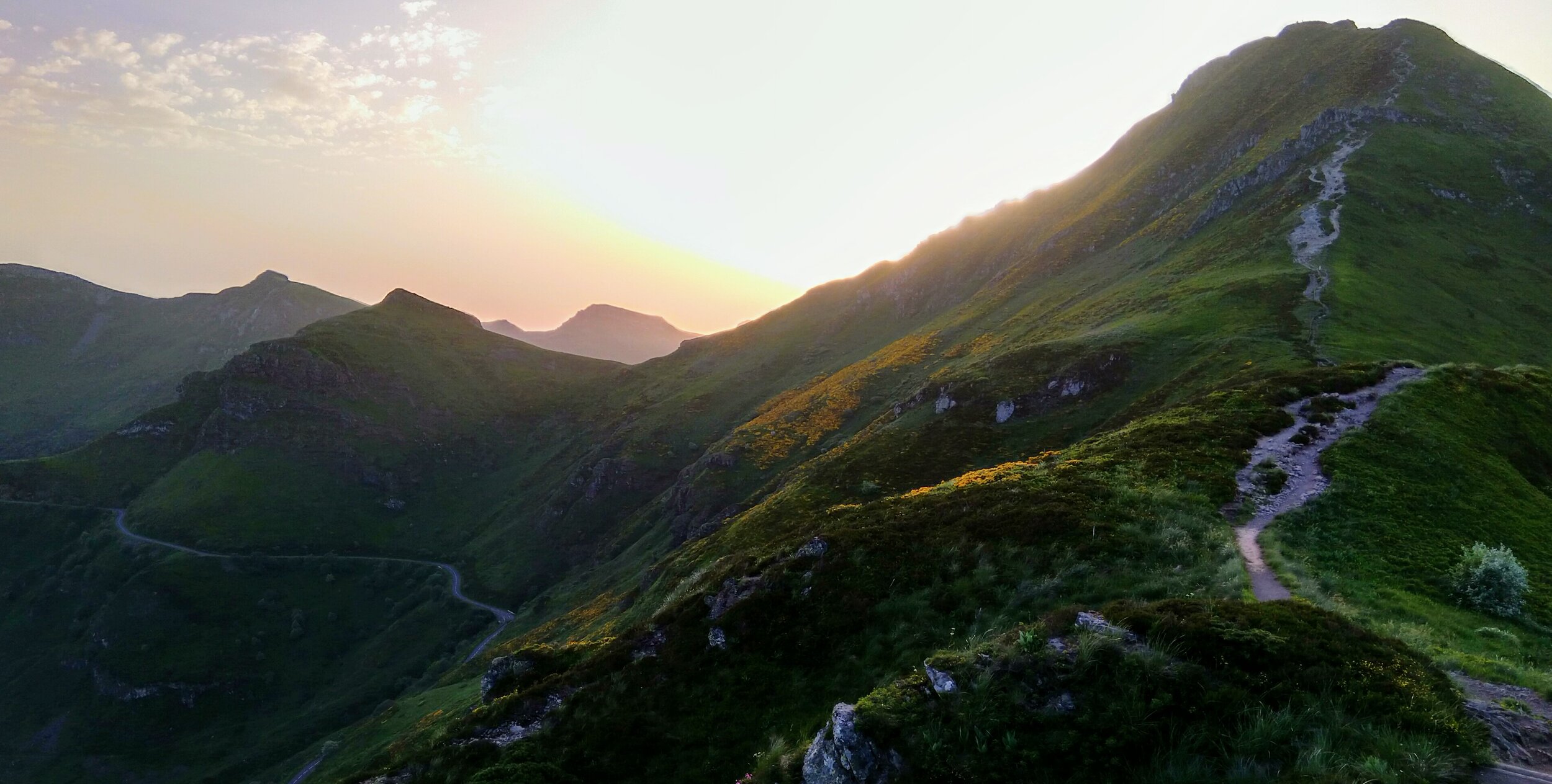
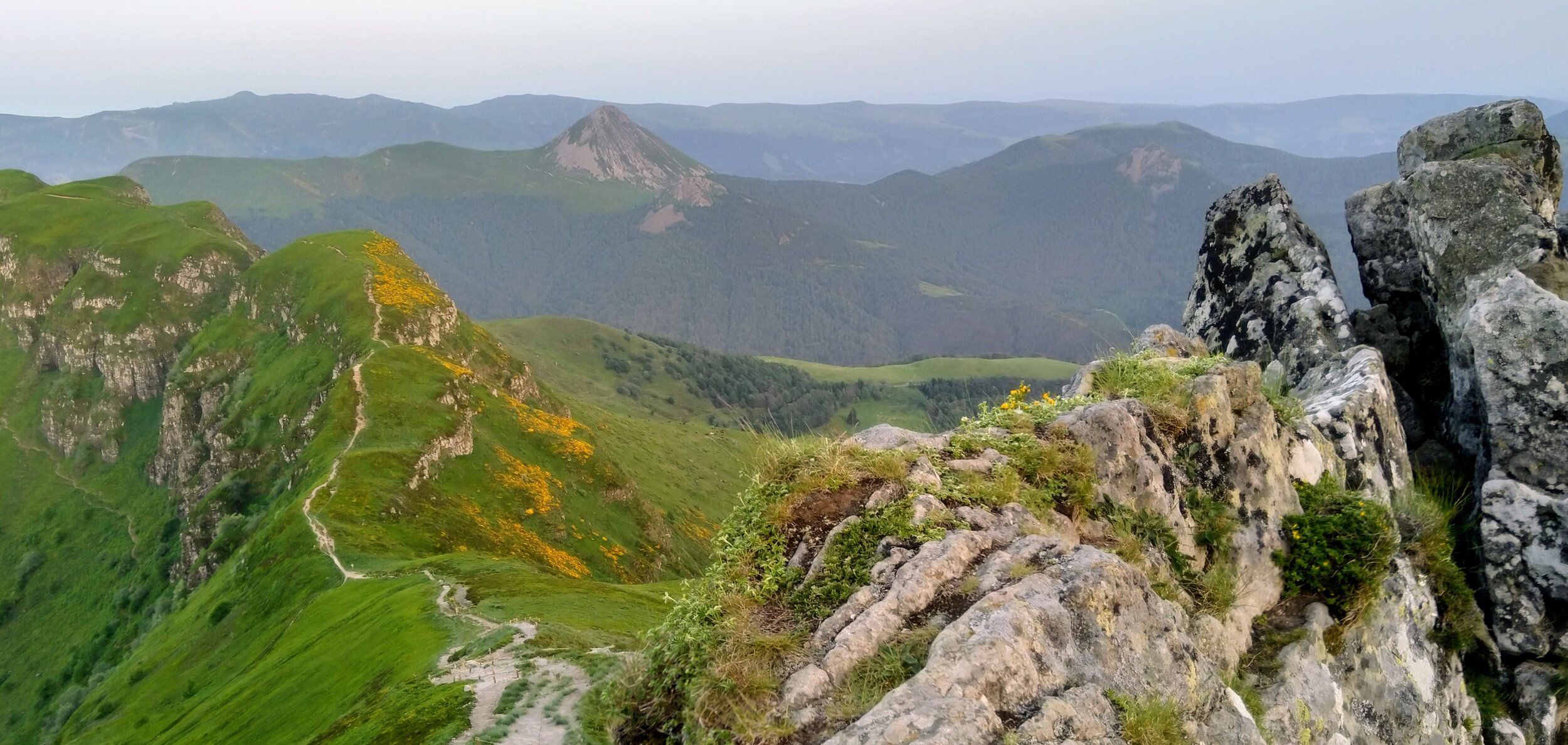
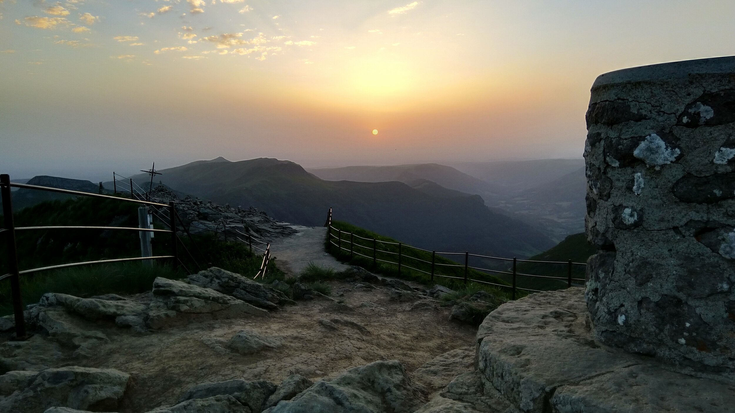
Walking in the Cantal, a pure and simple pleasure

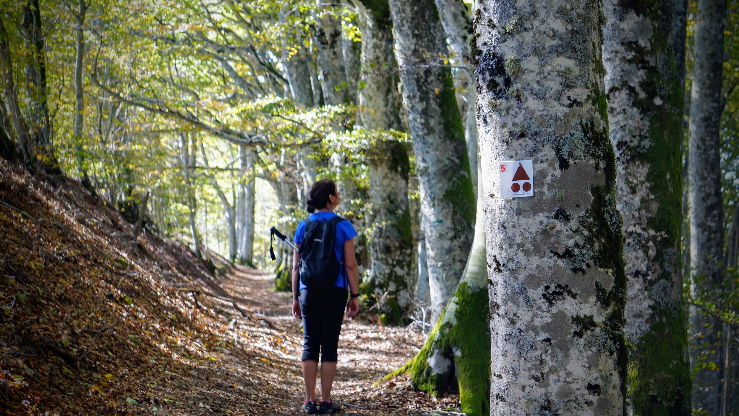
We have local Carte IGN maps at 1:25000 scale, guide books and hand made simplified maps. We can give individual advice and guidance on almost all the walks in and around the valley and mountains of the Cantal. We can provide panier pique niques, so you can enjoy walks for the whole day.

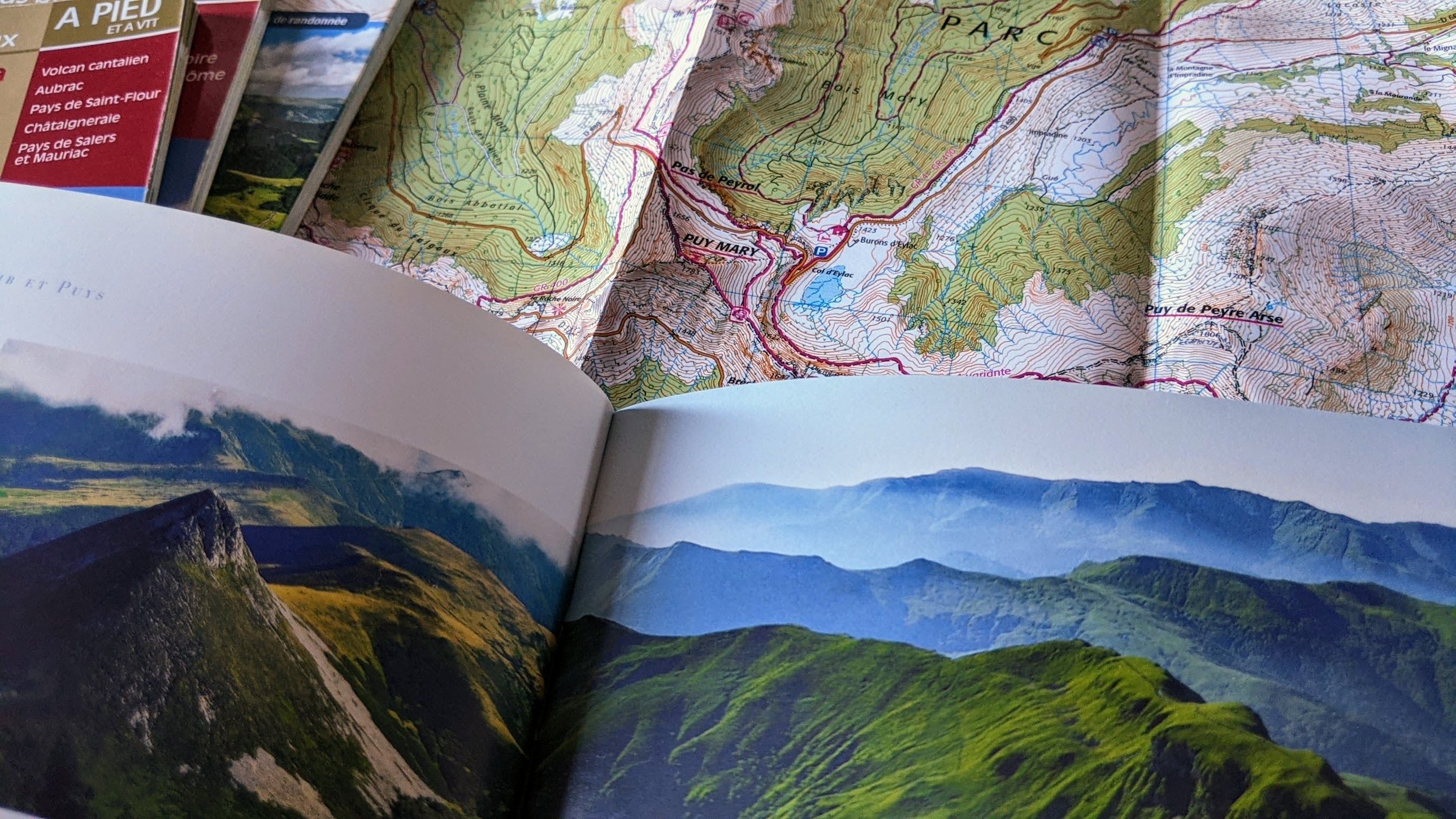
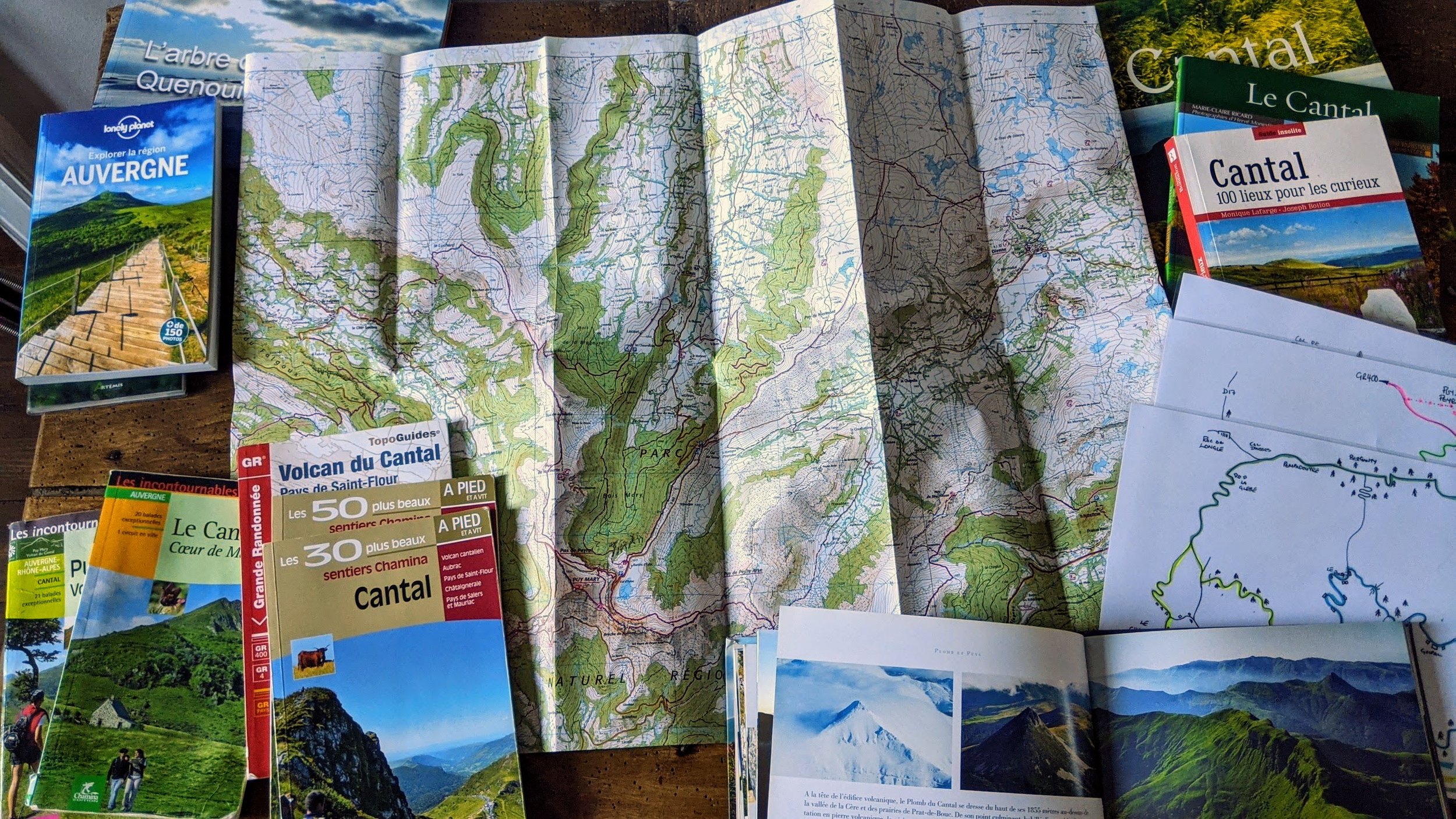
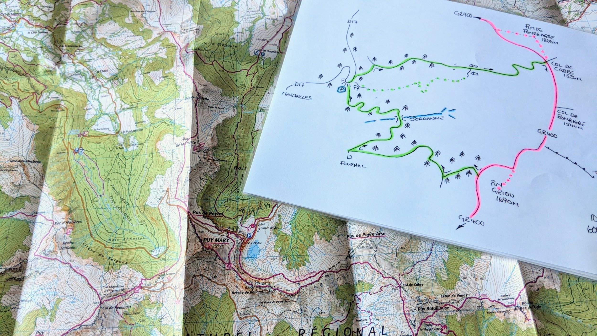
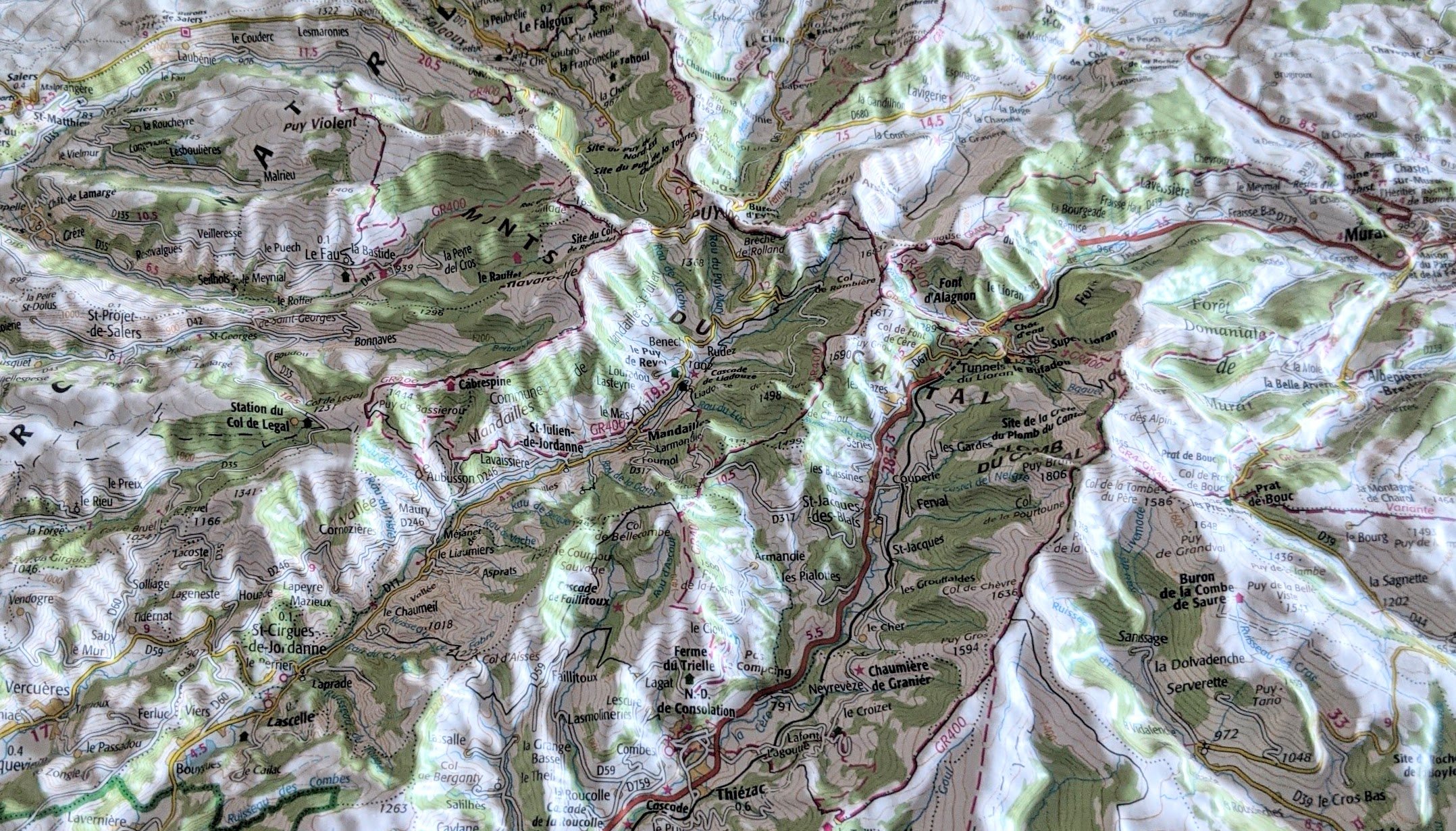
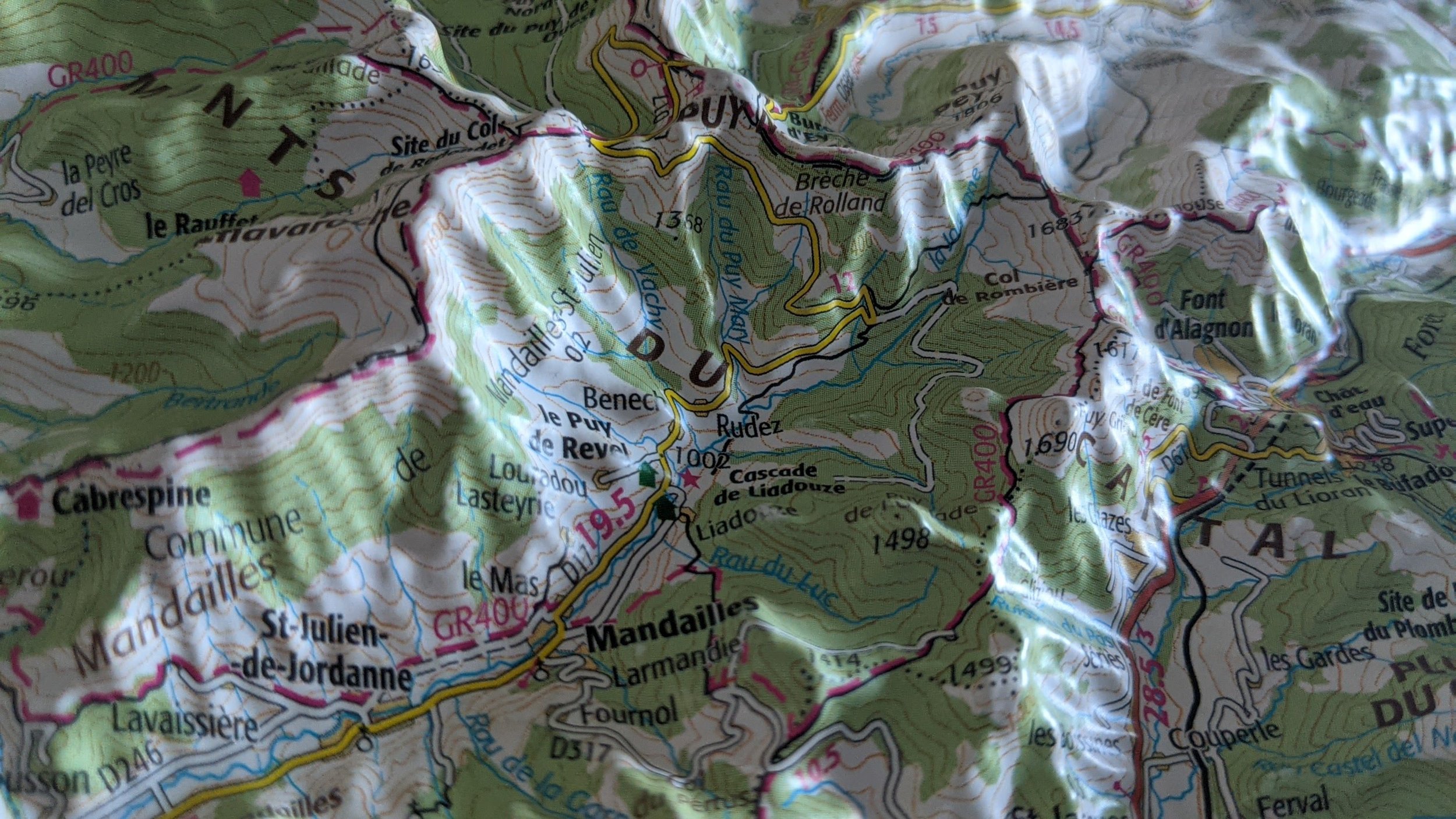
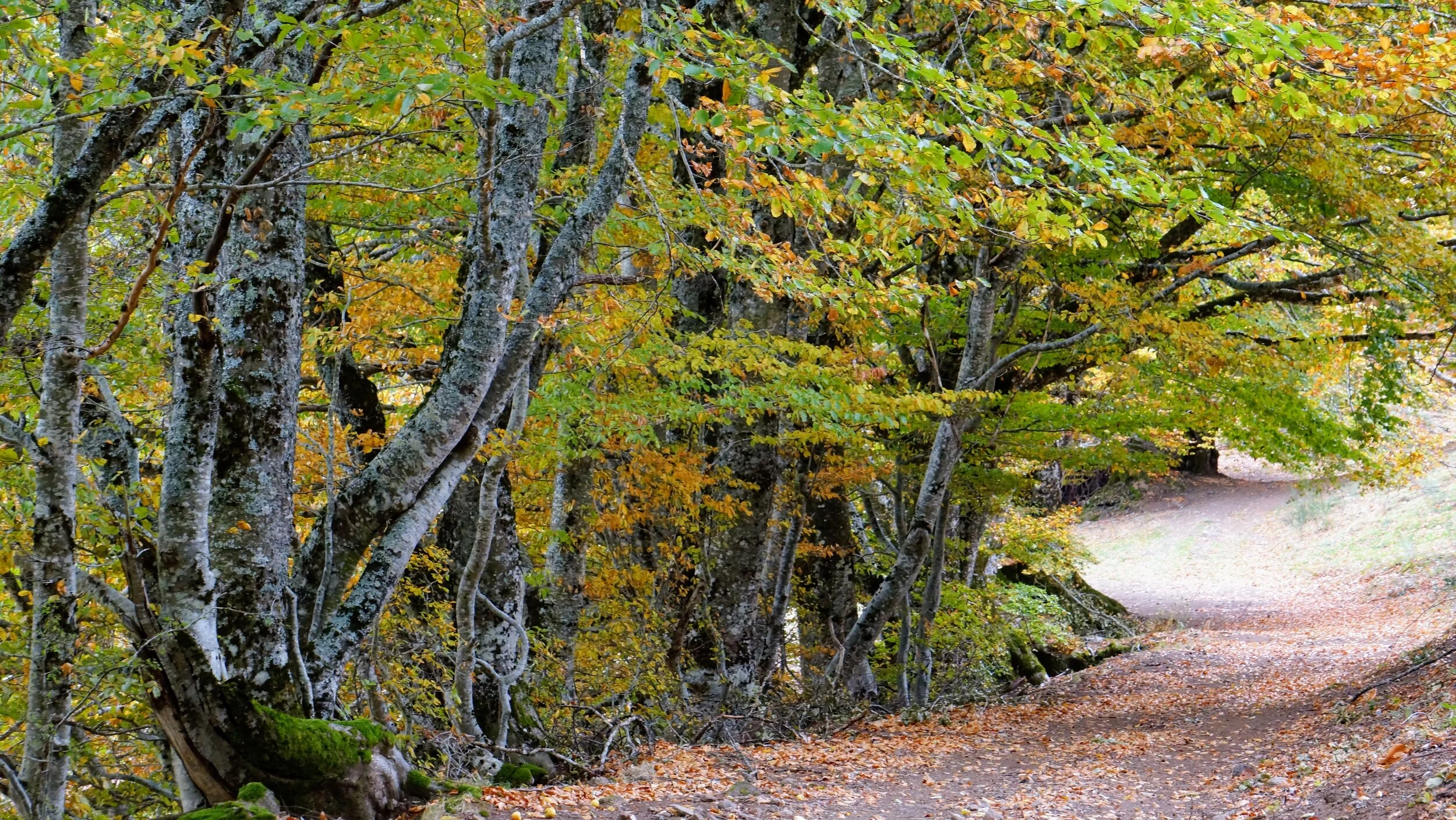
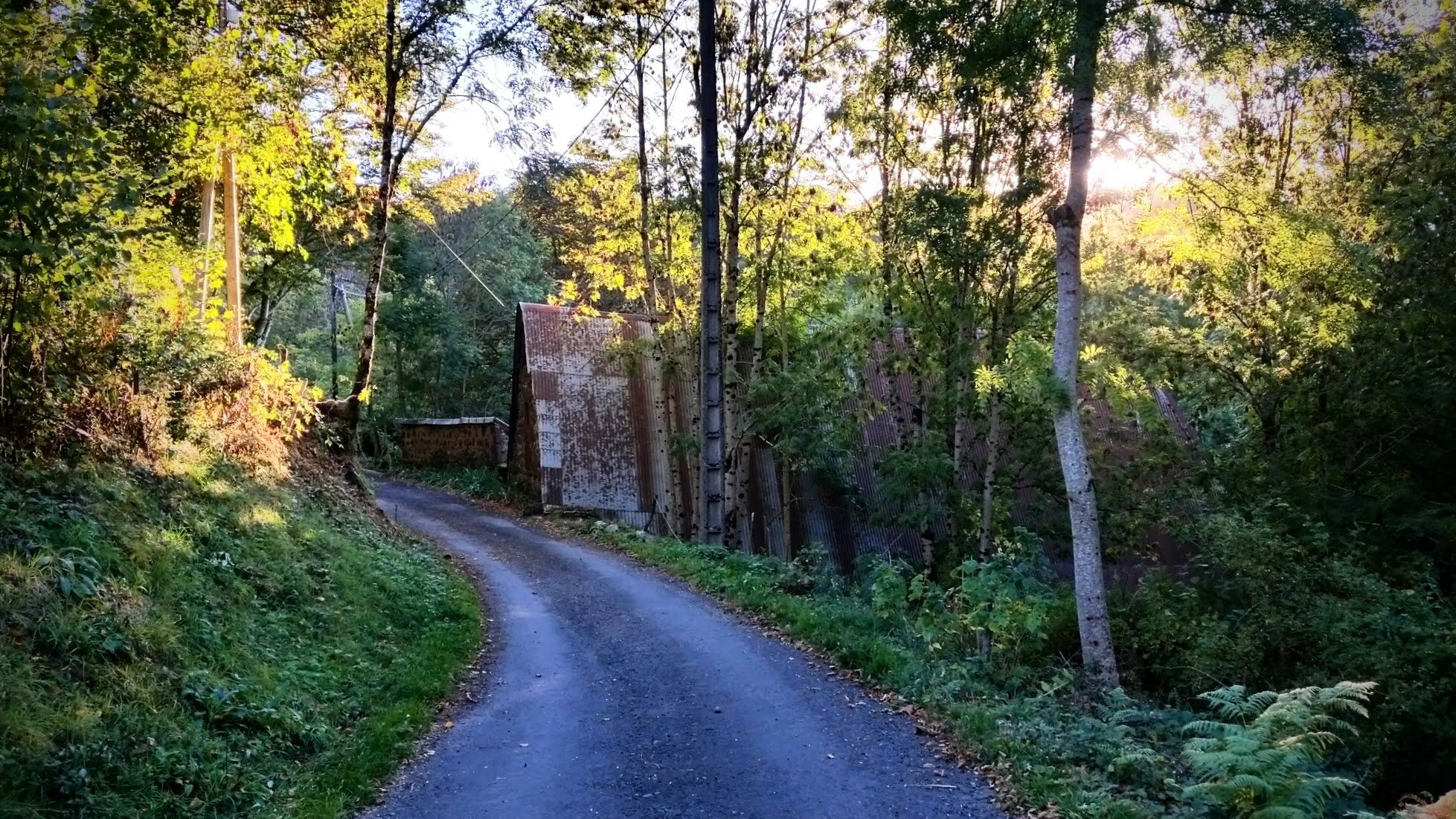
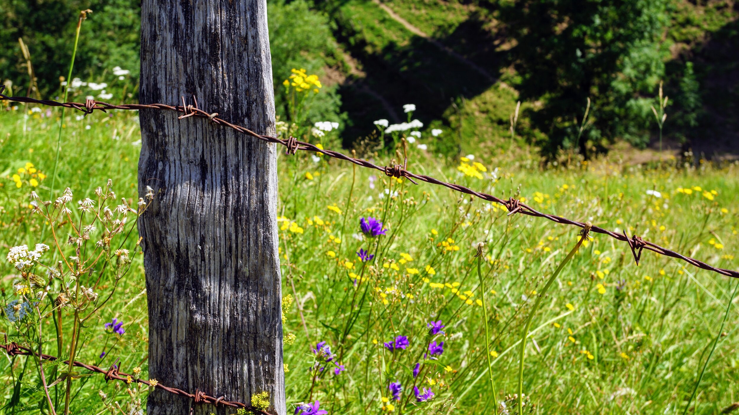
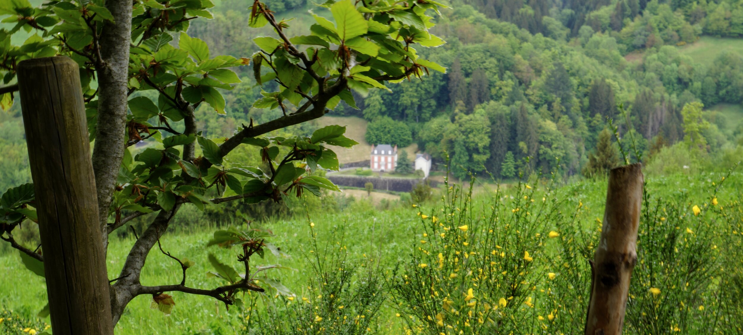
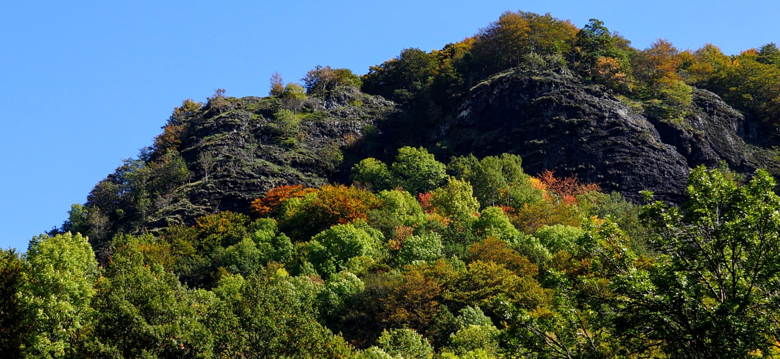
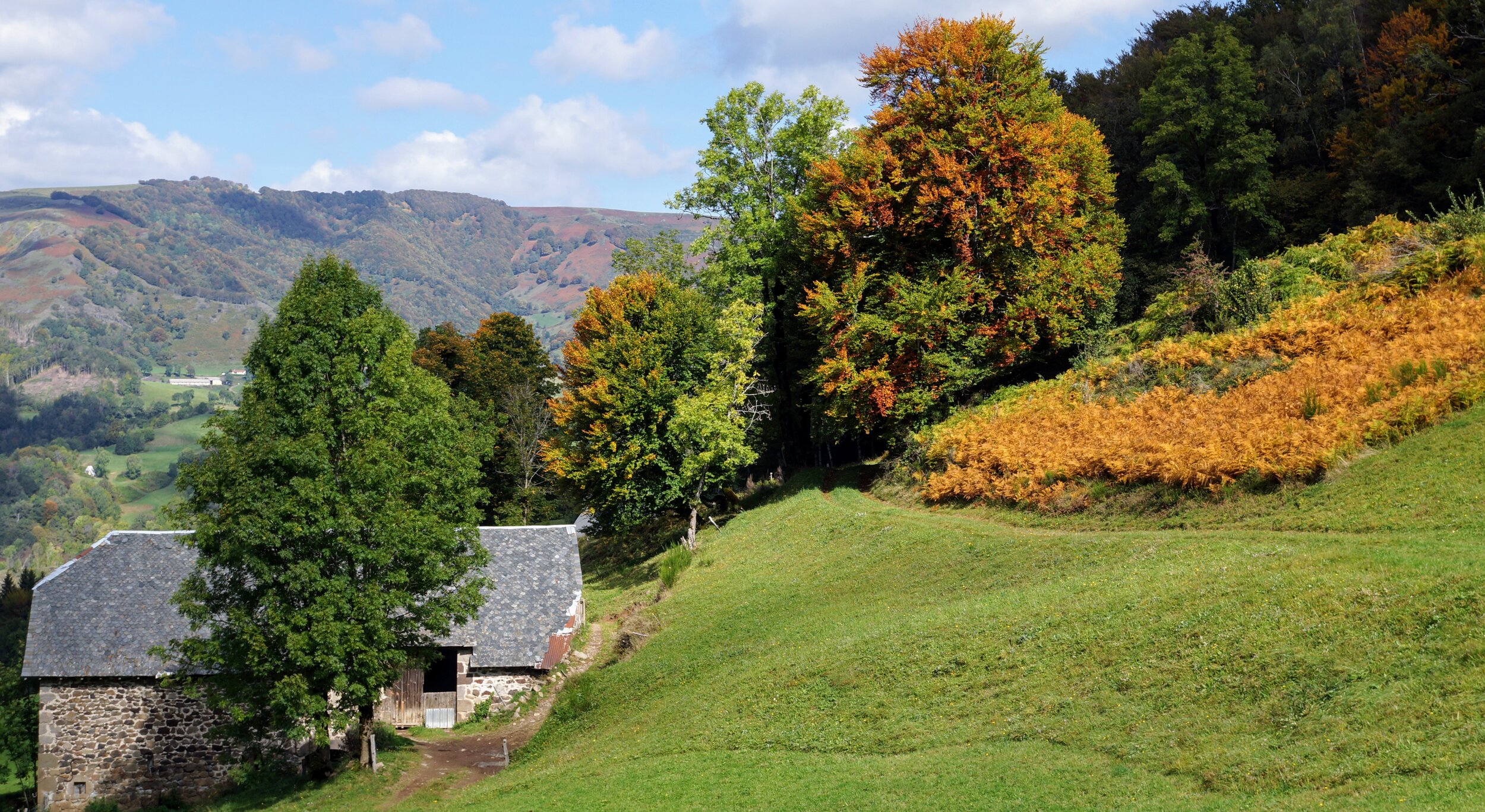
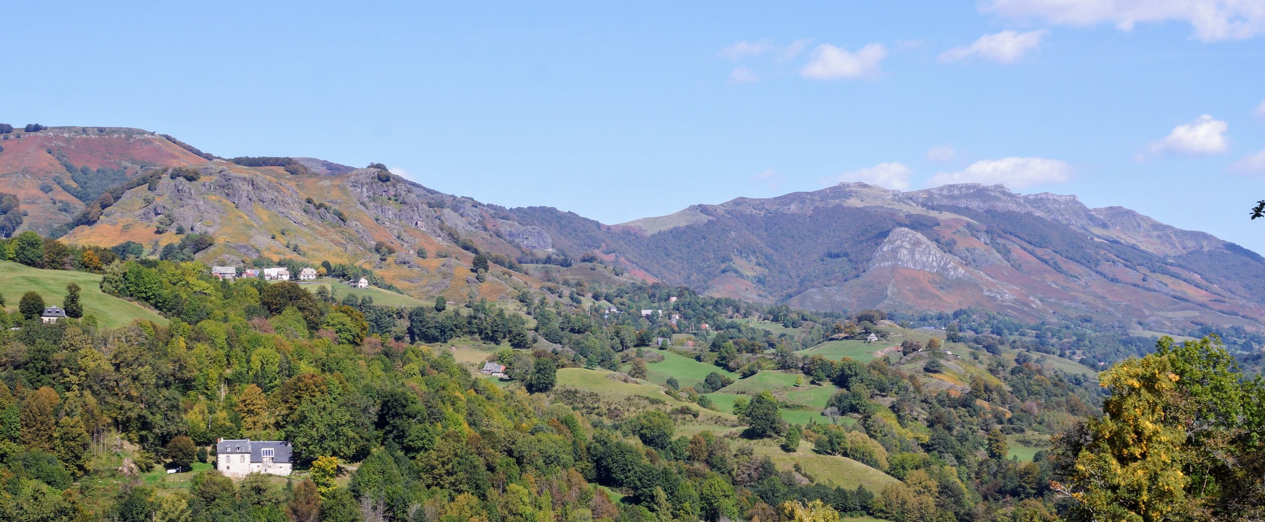
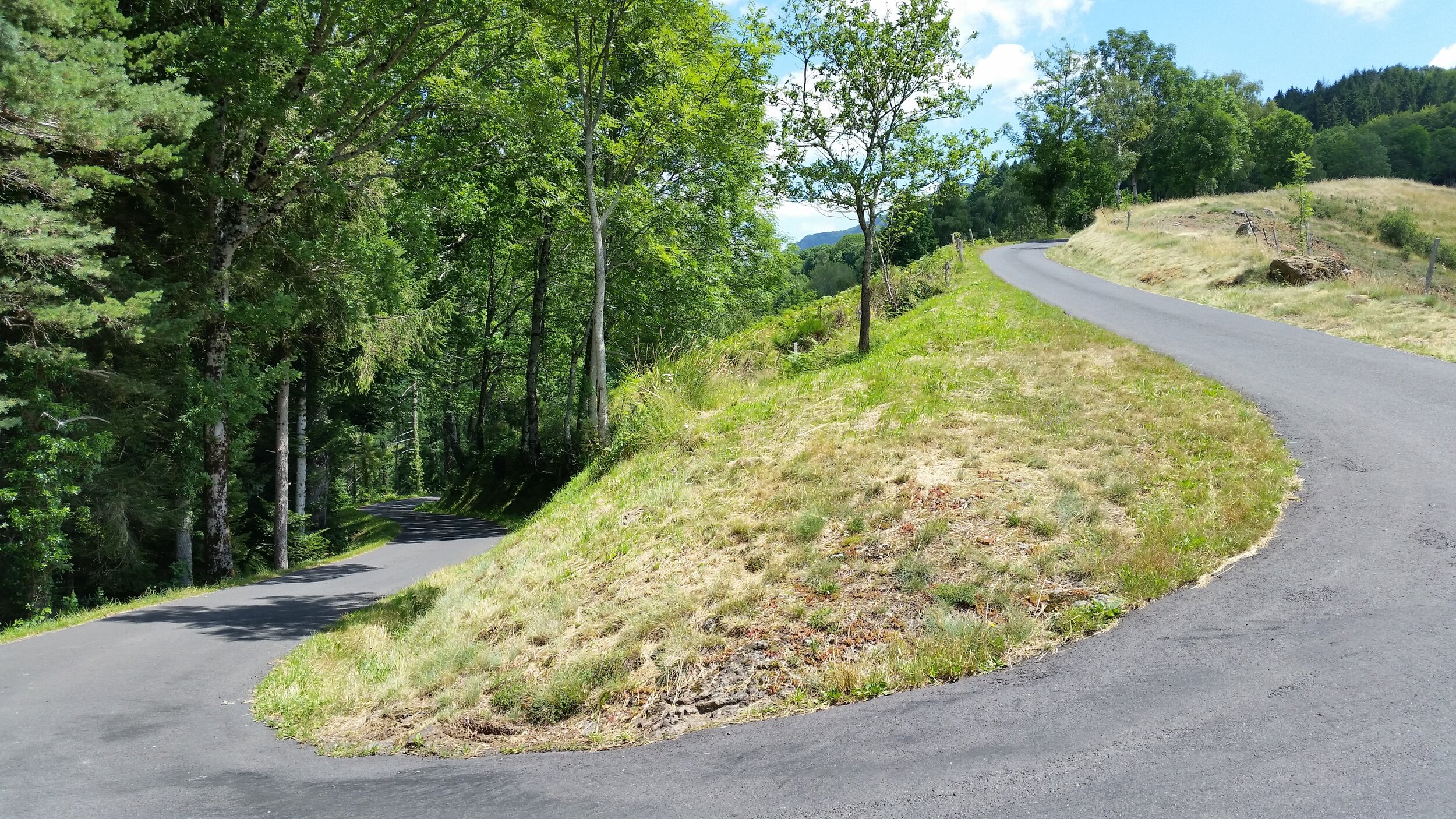
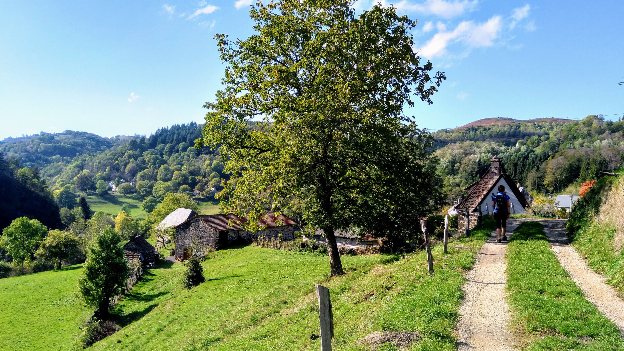
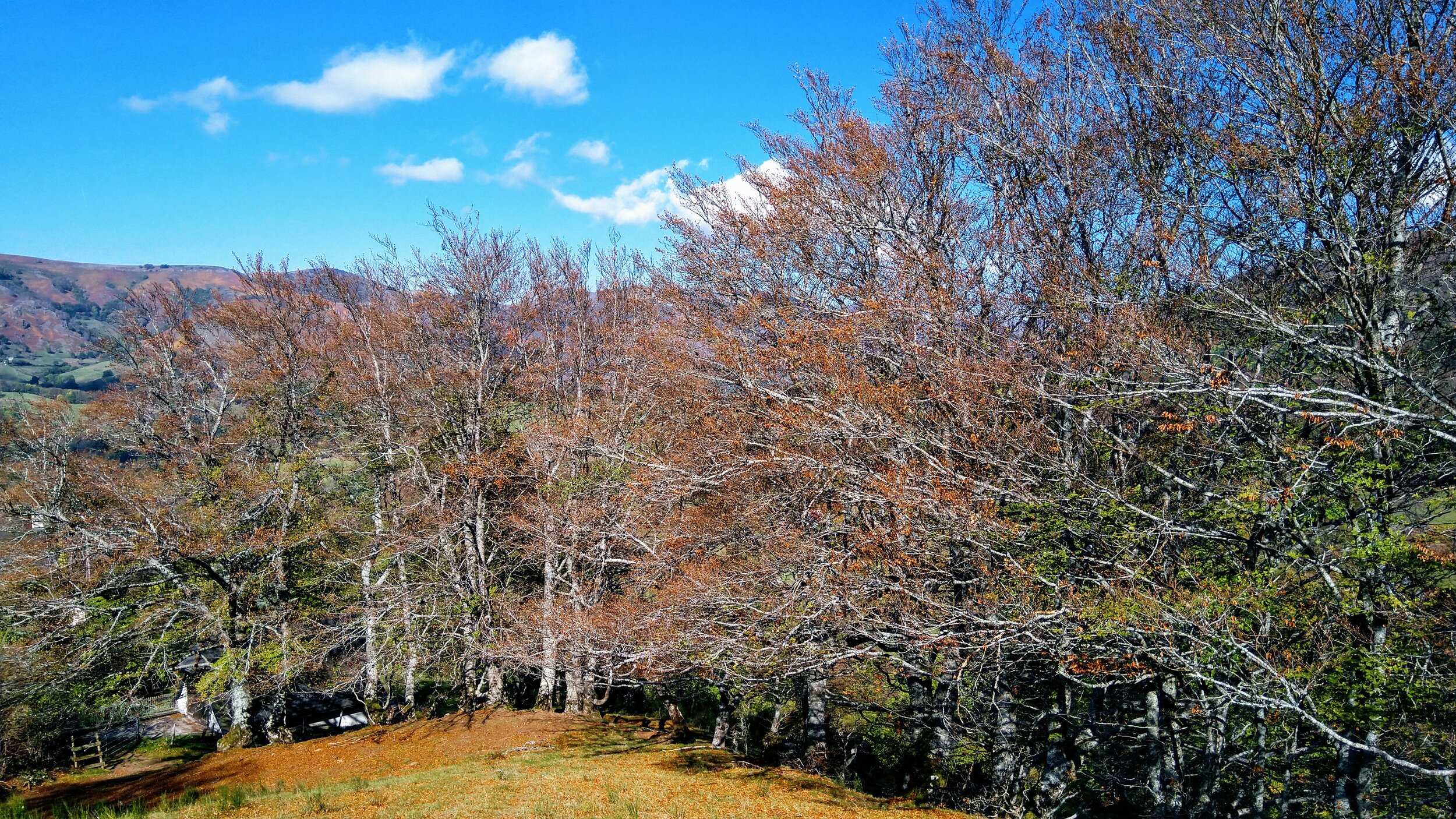
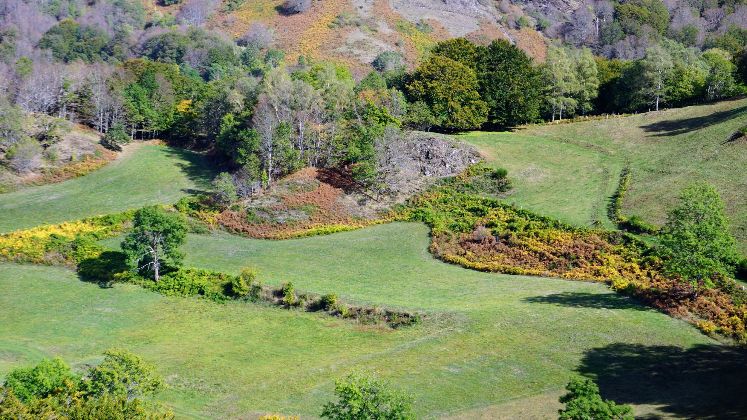
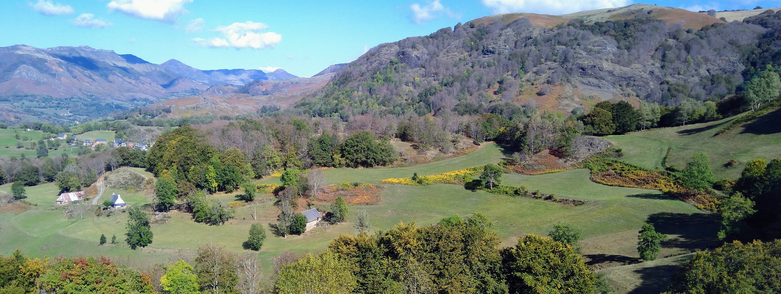
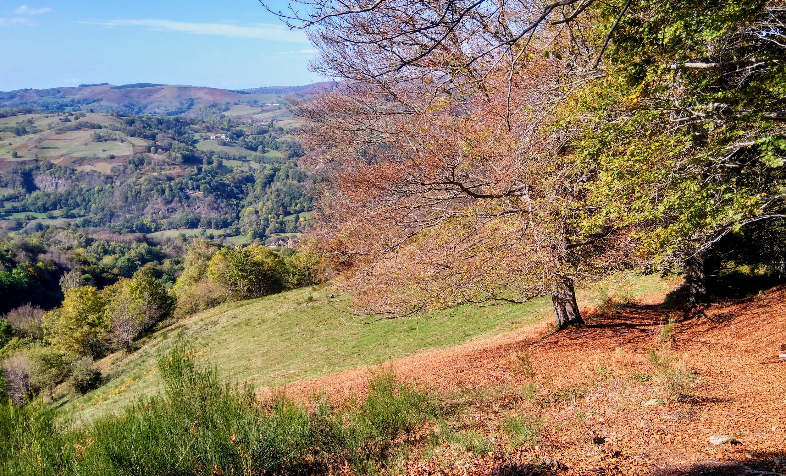
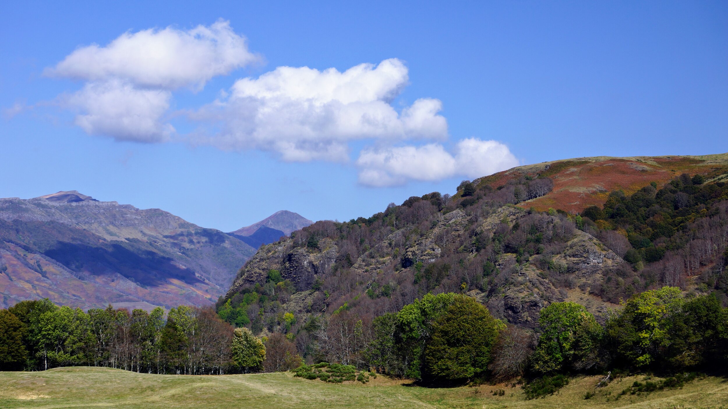
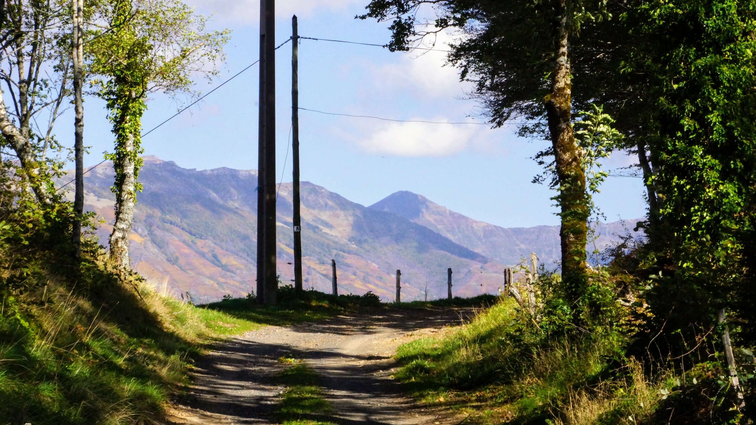
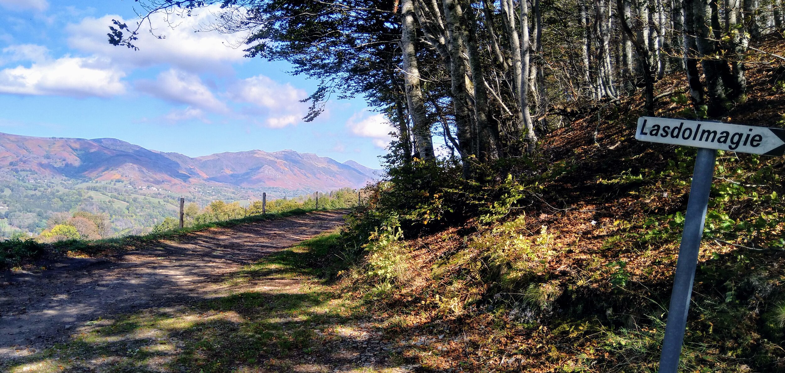
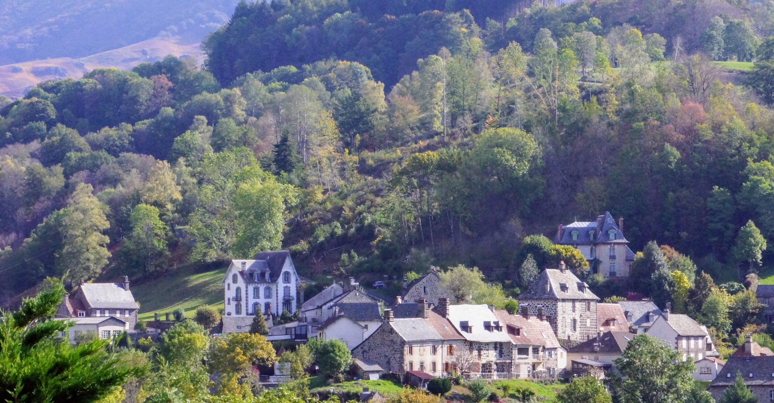
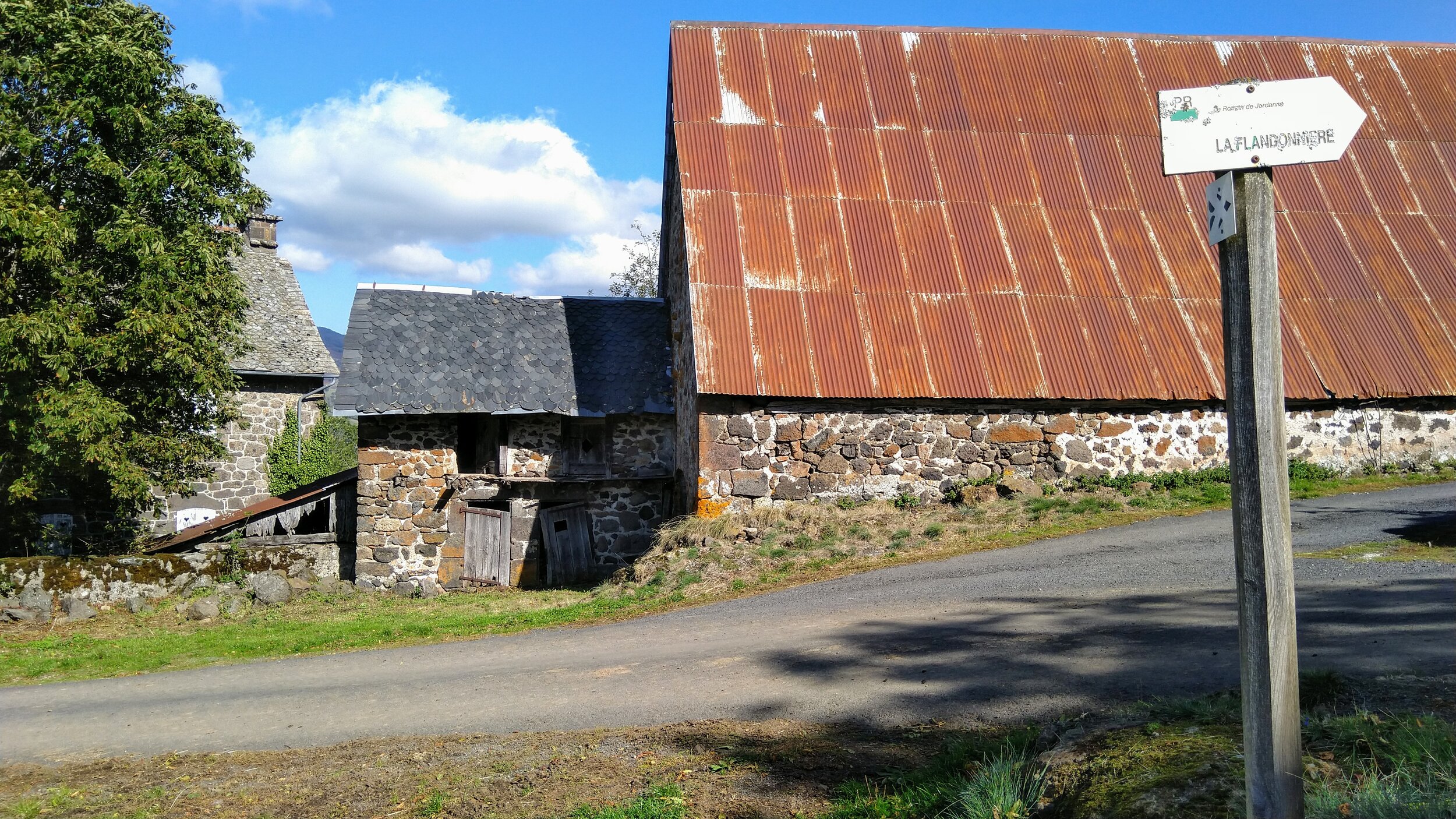
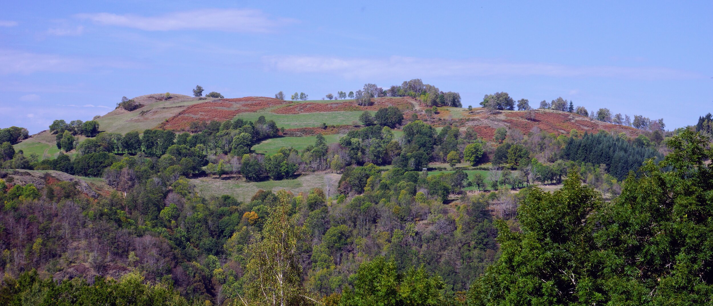
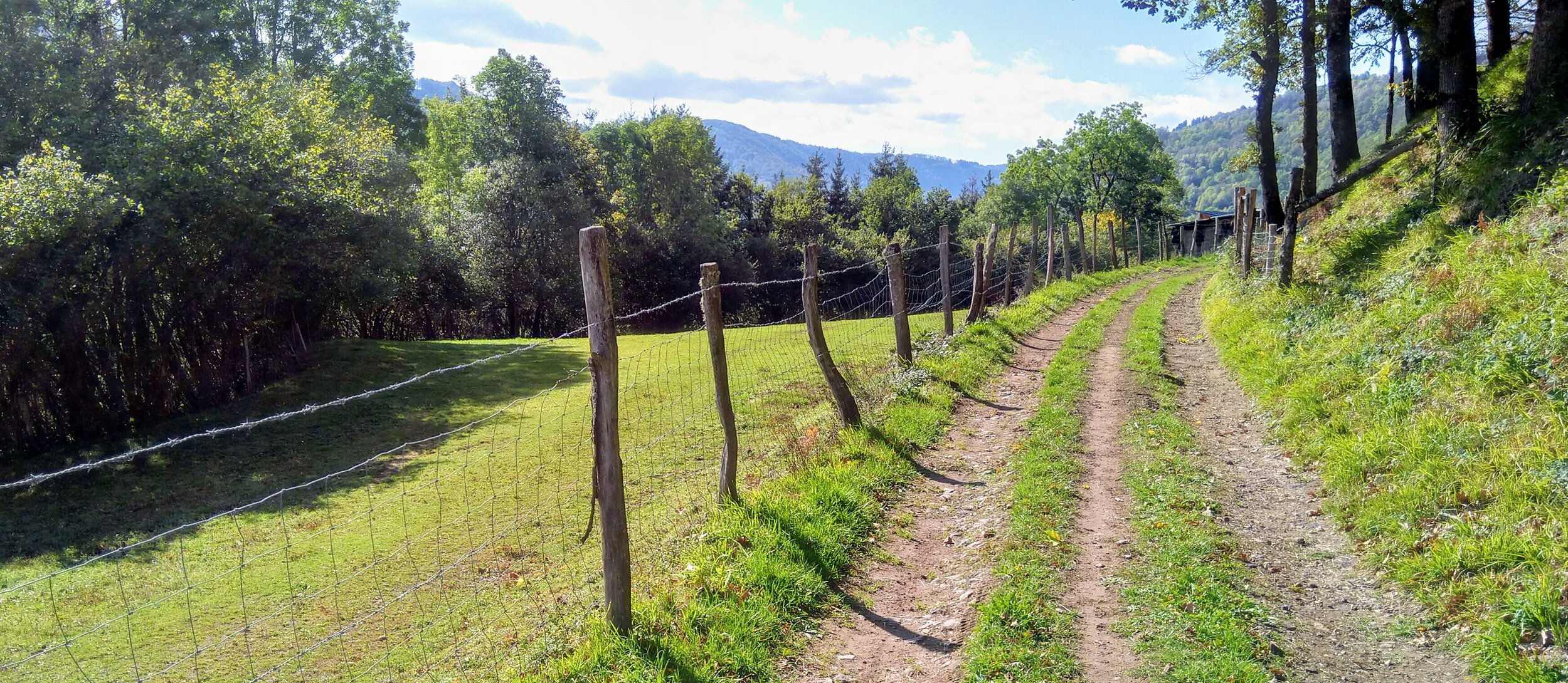
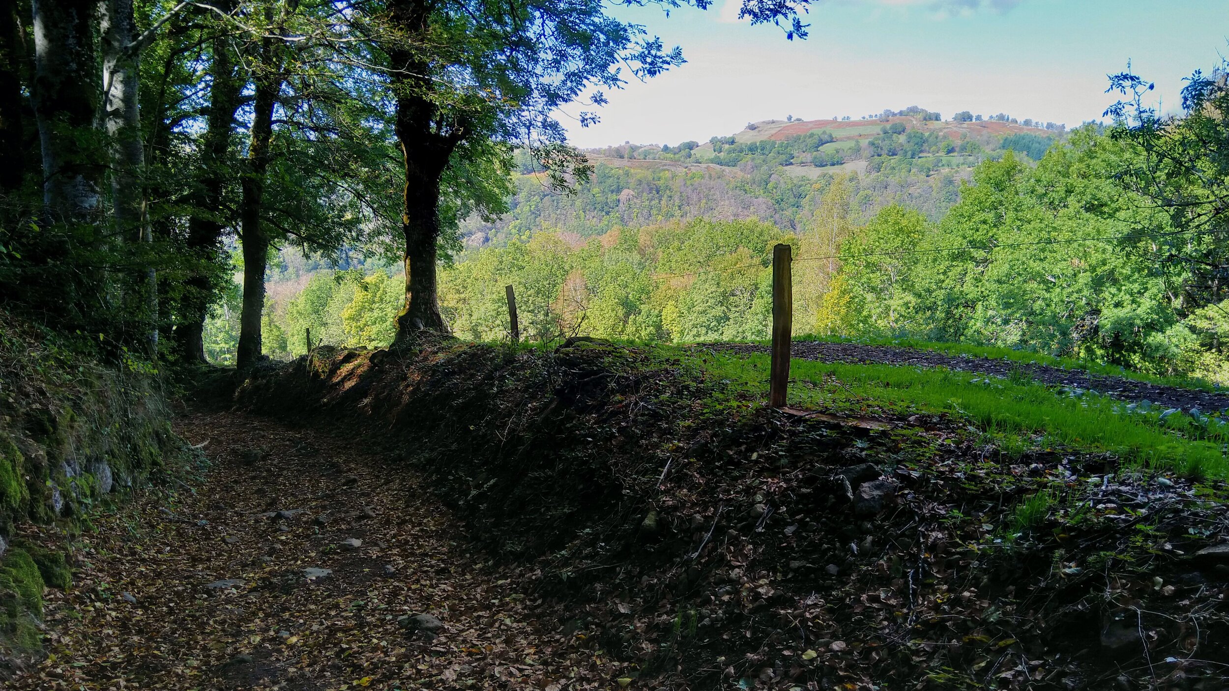
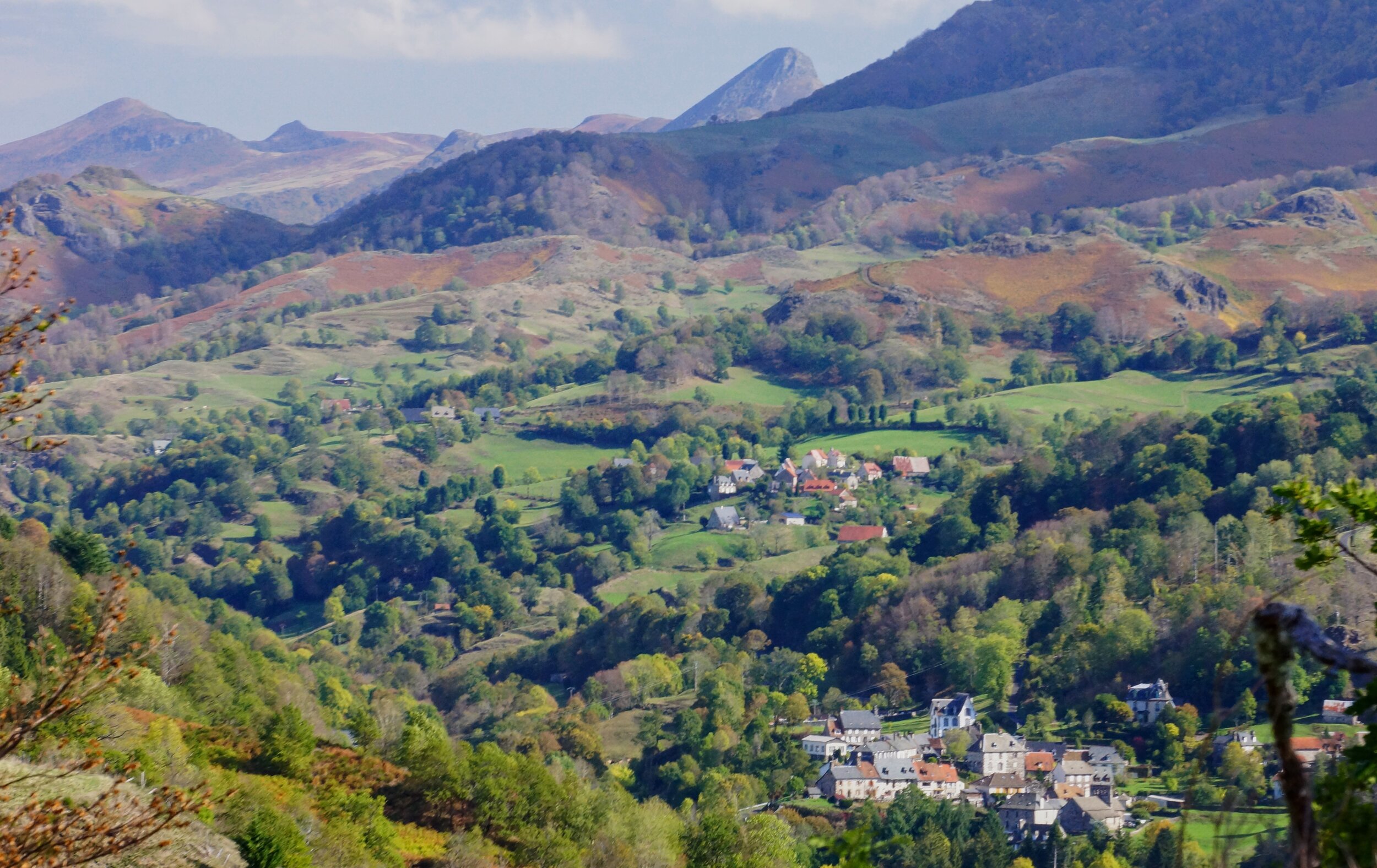
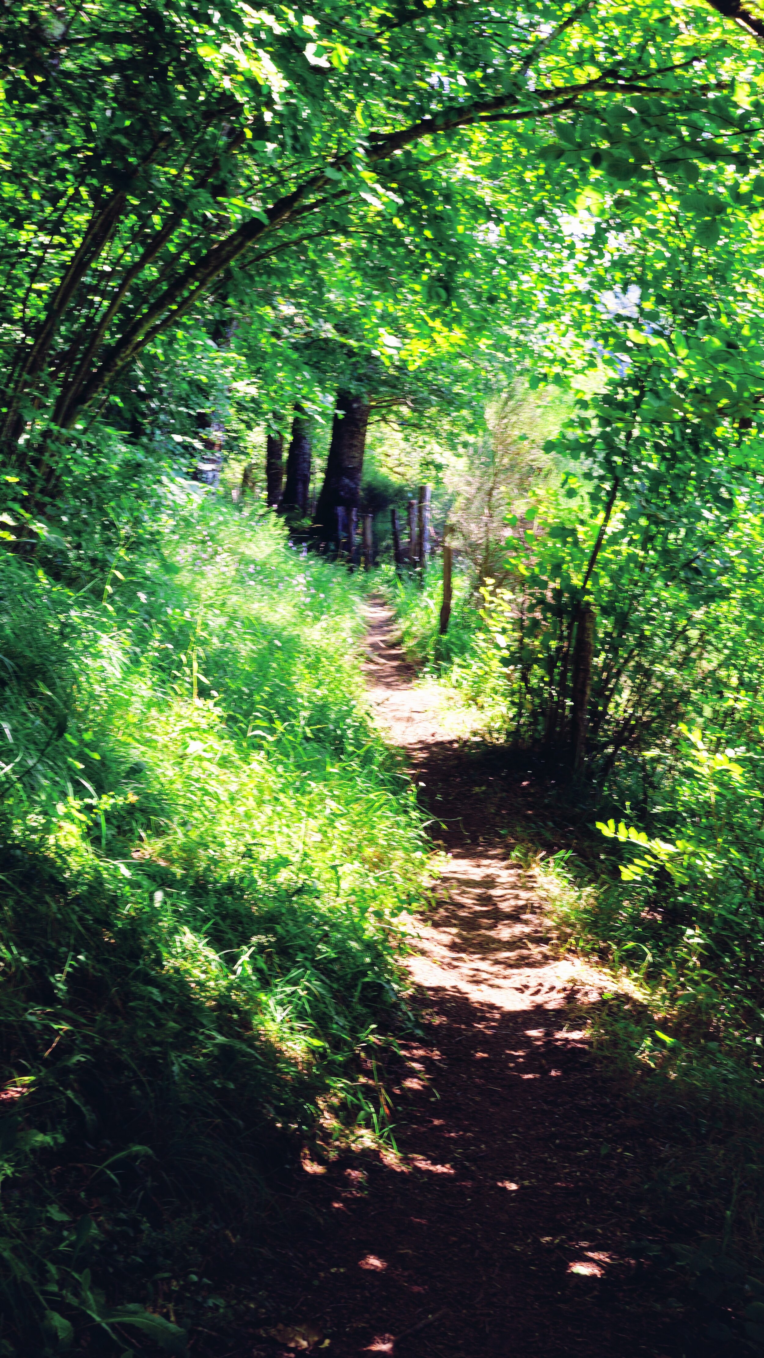
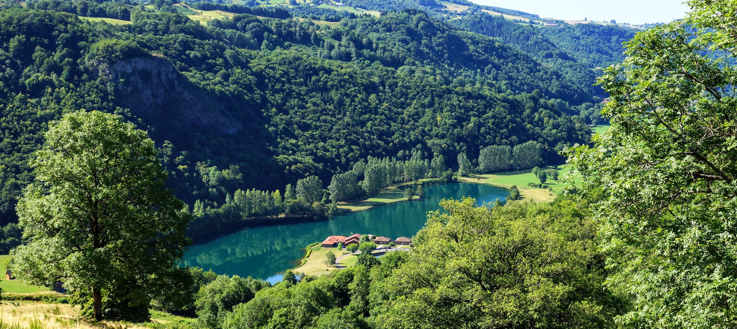
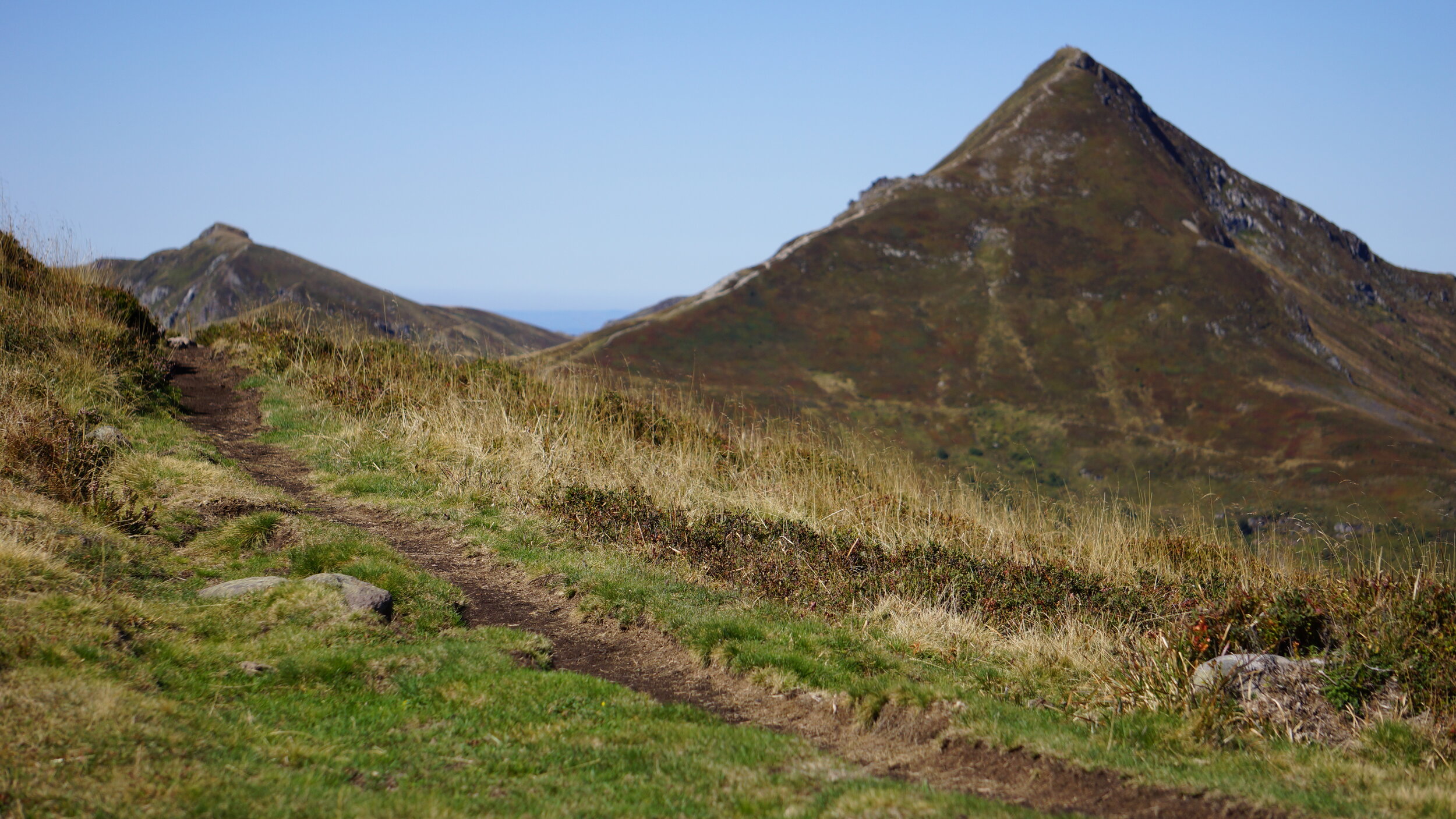
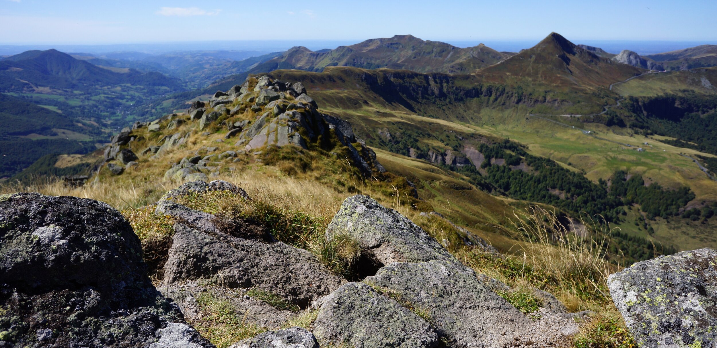
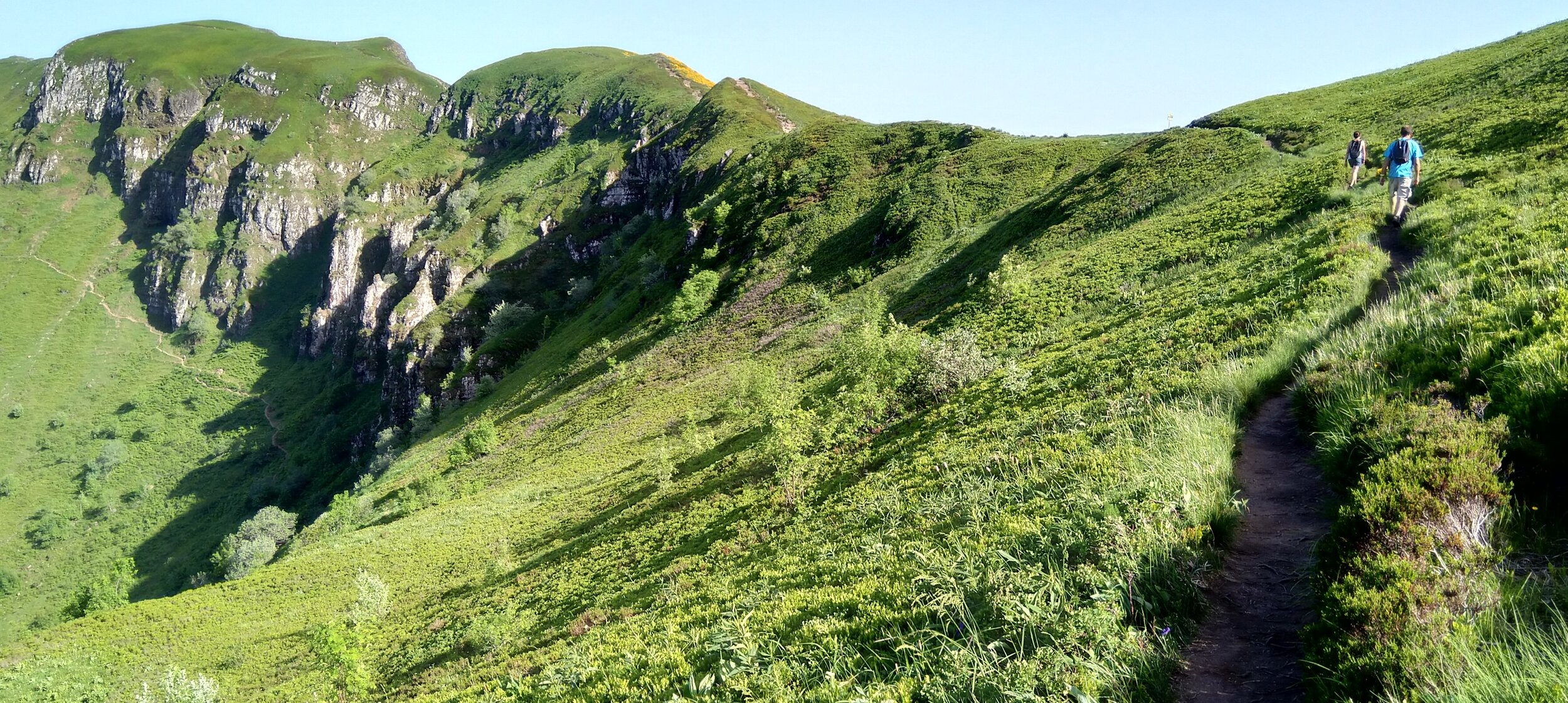
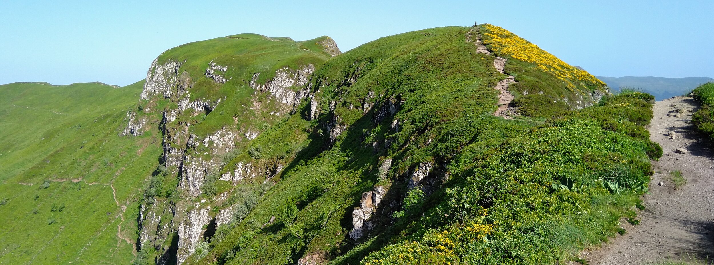
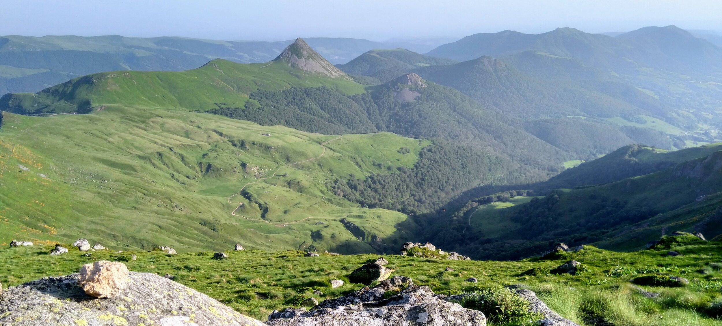
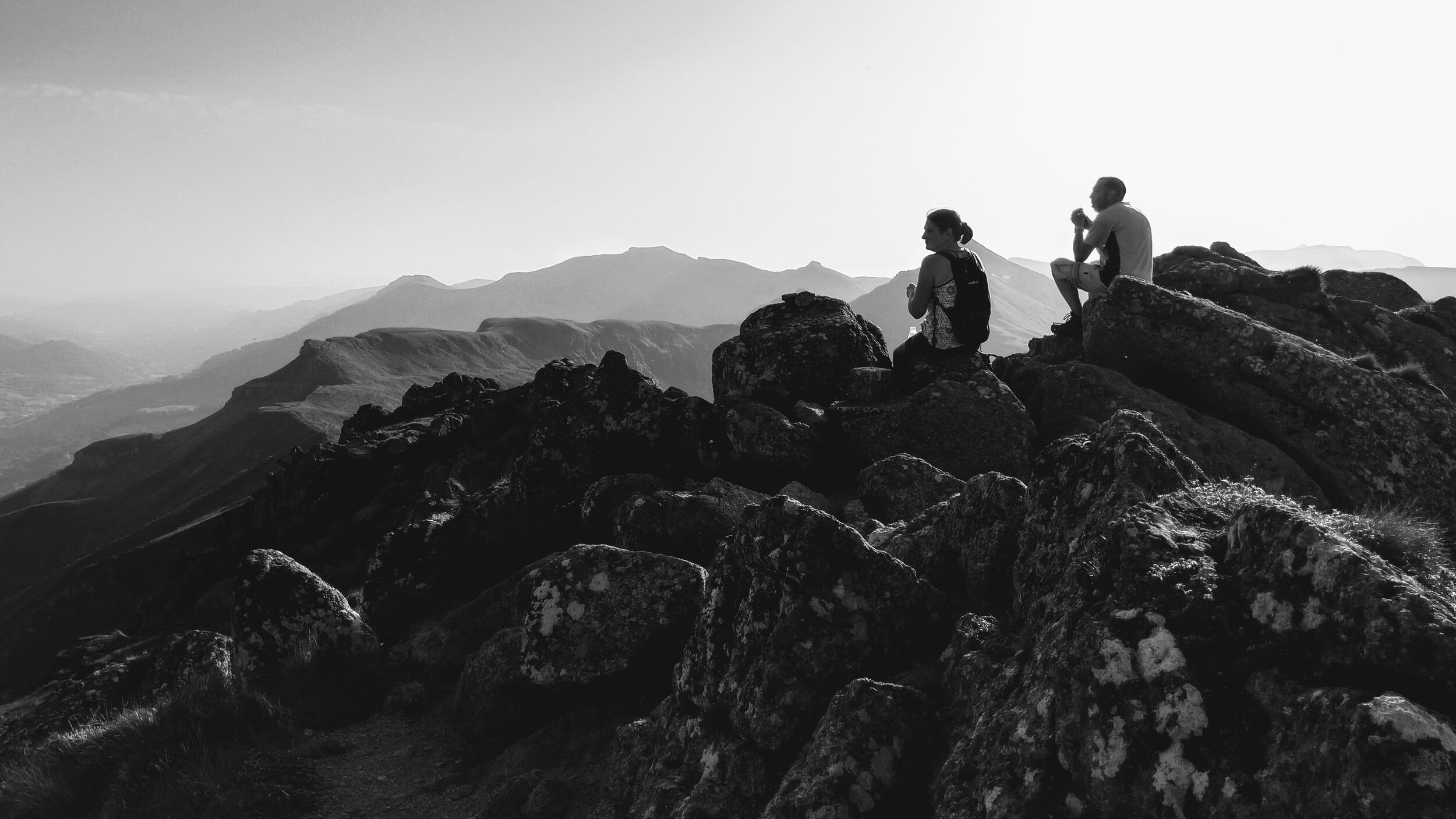
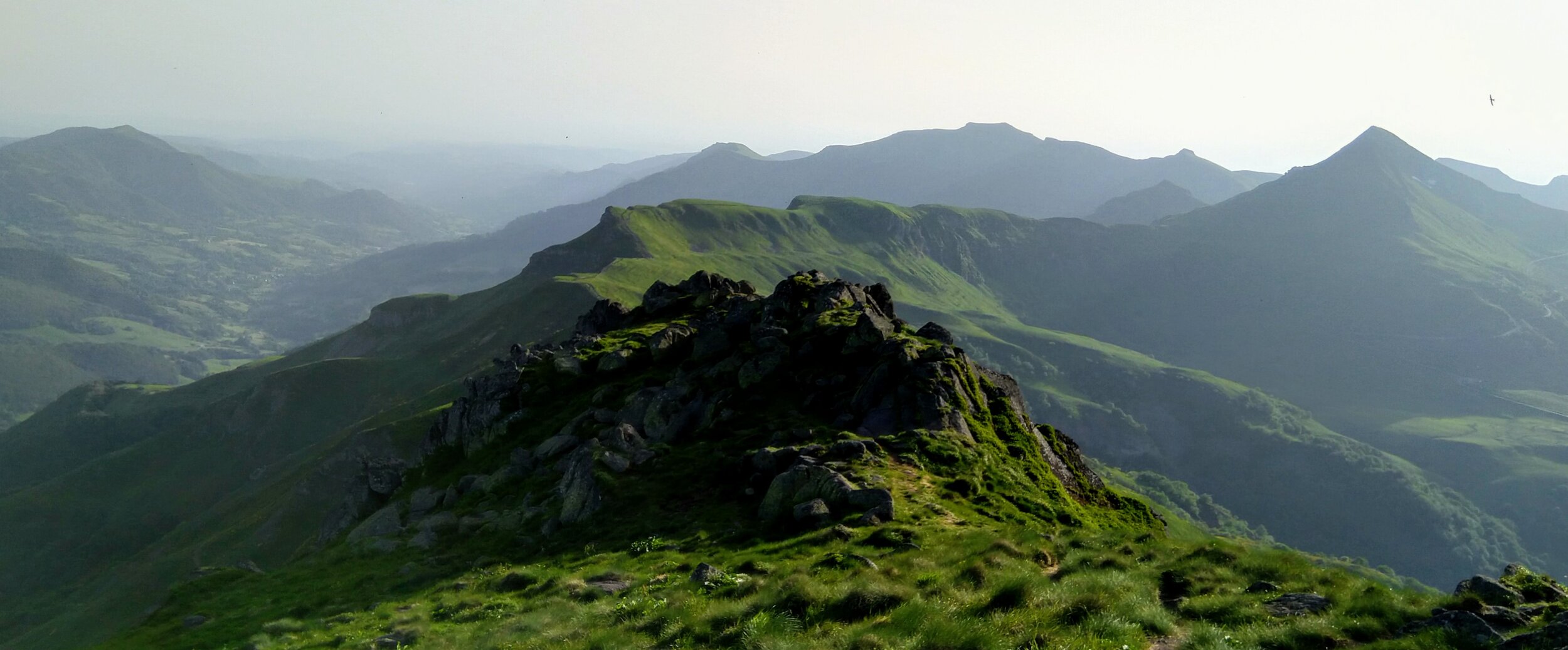
The walking in the Cantal mountains rewards you with some of the best views of unspoilt countryside in France. The mountain peaks (Puys) are easily accessible and the ridges and cols which join them can be traversed by walkers of all ages and abilities. You can walk for 40 minutes from your car and reach the top of a Puy or you can walk for a whole day and take in half a dozen. The routes are almost limitless, the galleries below will give you a taste of some of them…

To see some 3D videos of walks you can take around the valley Click Here

Flandonniere. 7 kms, 2 - 3 hours.

A gentle introduction to the pleasures of the Cantal countryside. This simple round route passes through shaded forest, open hillsides, wide vistas and lanes, through the small hamlets of Flandonniere, Le Pouget and Laprade.

Follow the blue markers simply painted on trees, rocks and posts and take in views of Lac des Graves, Cabrespine and Puy Mary. Perhaps stop for a while at La Petite Pause for a bite to eat or a refreshing drink before following the lane down to Saint Cirgues.

Le Roman de Jordanne. 16 kms, 5 hours.

A 16km circular route from Saint Cirgues which crosses the Jordanne river twice and offers views both up and down the valley. After passing the church in the village you then follow the river to Lascelles before crossing the Jordanne and climbing up along shaded paths to reach to top of the hill overlooking Lac des Graves and a view of Saint Cirgues and the mighty Puy Griou. Downhill through woods to pass the lake and on to Velzic once more crossing the river. Another shaded path climbs up again to Caylat above the lake on the opposite side. From here it’s a return North along a ridge track to the woods above Flandonniere and then a drop down once more in the trees to return to the village. A walk which passes through six villages and hamlets and the doors of three beautiful churches, along ancient stone walled lanes and leafy wooded tracks.

Puy Mary, Breche de Roland. 9 kms, 4 - 5 hours.

Puy Mary is a must visit for anyone visiting the Cantal. Probably the most rewarding way is to start at Pas de Peyrol and traverse North along the PR path around Mary’s North side. Arriving at the start of a fantastic ridge walk which curves slowly round towards Puy Peyre Arse. A scramble down to cross the breach or Breche de Roland is all part of the adventure and reward. Sublime views of most of the Cantal range can be had along the whole route. A rest on the summit of Peyre Arse before a return along the ridge, this time with the climb to the summit of Puy Mary from the East. a 360 degree vista is to be savoured before the easy descent back to the starting point.


Download a free walking app RandoGPS

We have loads of walks for you to follow from our own hand drawn maps but you can also download an app free of charge and follow the routes live as you go. There are 8+ walks that begin at the house and lots more close by.